Transport Functions
Rail
Road
Hub Profile
Place type
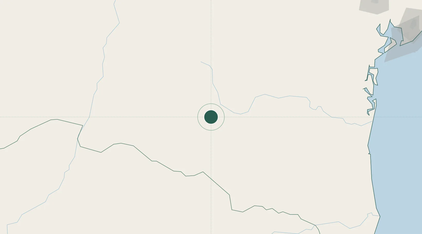
Populated place
Region
Bahia
Population
70,510
Time zone
America/Bahia
Elevation
427 m
Location
Nearby Logistics Neighbours
Cities
- 1Cuenca del Plata268 km
- 2Ibotirama280 km
- 3Salvador289 km
- 4Ilhéus291 km
- 5Maragogipe337 km
Ports
- 1Port Of Ilheus293 km
- 2Port De Salvador367 km
- 3Madre De Deus367 km
- 4Aratu377 km
- 5Port De Aracaju620 km
Airports
Trade Zones
- 1Zona Franca Ilhéus (BA)258 km
- 2ZPE de Teófilo Otoni (MG)408 km
- 3ZPE de Barra dos Coqueiros (SE)623 km
- 4ZPE de Aracruz (ES)640 km
- 5ZPE do Açú (RJ)852 km
DatabookThe Record of Consolidated Knowledge
Brazil beyond logistics?