Channel & Berth Profile
Pilotage, Tugs & Services
Pilotage compulsoryYES
Pilotage availableYES
Tug assistanceYES
Salvage tugsNO
Potable waterYES
MedicalYES
Facilities & Capabilities
Container—
Ro-Ro—
Liquid bulk—
Dry bulk—
Oil terminal—
Break bulk—
Dry dockNO
RepairsNO
BunkeringYES
Rail linkYES
Dangerous cargo—
ISPS security—
Harbour Specifications
Harbour size
Small
Harbour type
Open Roadstead
Shelter
Fair
Water body
South Atlantic Ocean
Tidal range
3 m
Pilotage
Yes
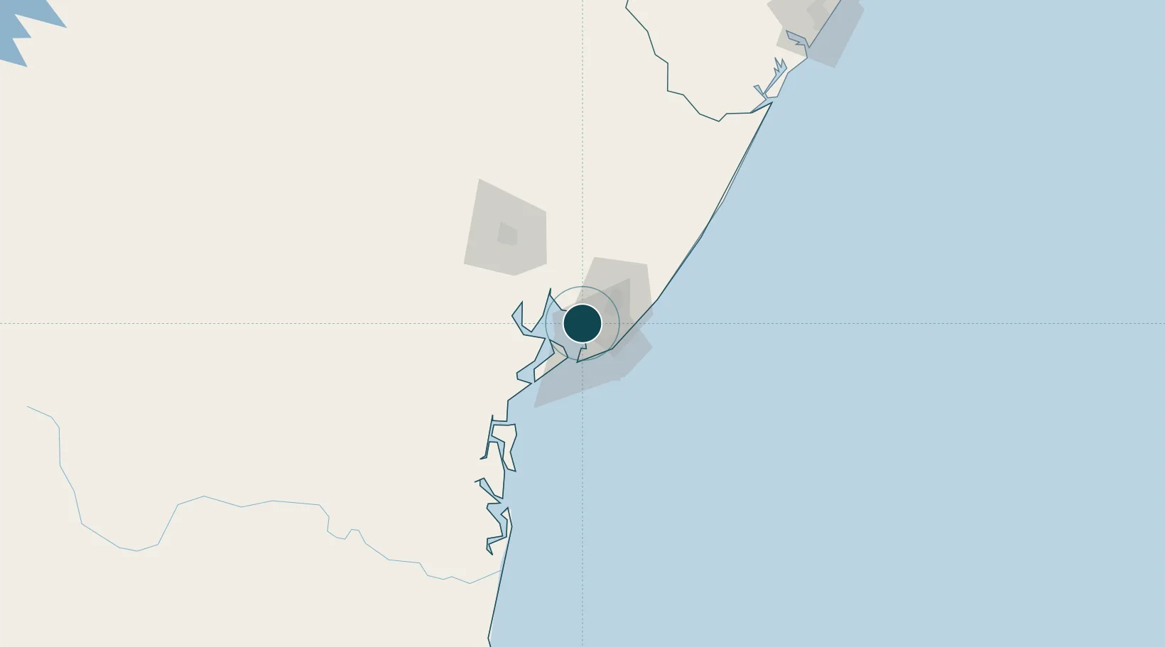
Location
Nearby Logistics Neighbours
Ports
- 1Madre De Deus13 km
- 2Port De Salvador21 km
- 3Port Of Ilheus229 km
- 4Port De Aracaju261 km
- 5Porto De Maceio460 km
Cities
- 1Simões Filho10 km
- 2Madre de Deus12 km
- 3Candeias14 km
- 4Camaçari23 km
- 5Maragogipe45 km
Airports
Trade Zones
- 1Zona Franca Ilhéus (BA)218 km
- 2ZPE de Barra dos Coqueiros (SE)263 km
- 3ZPE de Suape (PE)622 km
- 4ZPE de Teófilo Otoni (MG)650 km
- 5ZPE de João Pessoa (PB)737 km
DatabookThe Record of Consolidated Knowledge
Brazil beyond logistics?