Transport Functions
Port
Road
Airport
Hub Profile
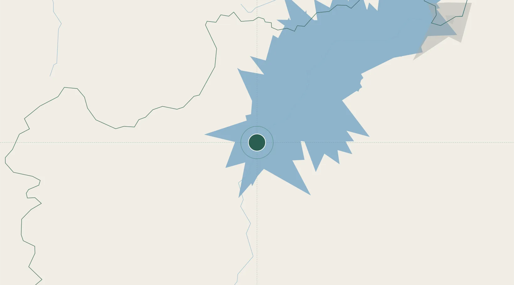
Place type
Populated place
Region
Bahia
Population
51,092
Time zone
America/Bahia
Elevation
411 m
Location
Nearby Logistics Neighbours
Cities
- 1Xique-Xique54 km
- 2Ibotirama123 km
- 3Campo Formoso314 km
- 4Juazeiro344 km
- 5Petrolina346 km
Ports
- 1Madre De Deus525 km
- 2Aratu538 km
- 3Port De Salvador544 km
- 4Port Of Ilheus607 km
- 5Port De Aracaju664 km
Airports
Trade Zones
- 1Zona Franca Ilhéus (BA)568 km
- 2ZPE de Barra dos Coqueiros (SE)666 km
- 3ZPE de Araguaína (TO)708 km
- 4ZPE de Teófilo Otoni (MG)775 km
- 5ZPE de Parnaíba (PI)916 km
DatabookThe Record of Consolidated Knowledge
Brazil beyond logistics?