Transport Functions
Road
Multimodal
Hub Profile
Place type
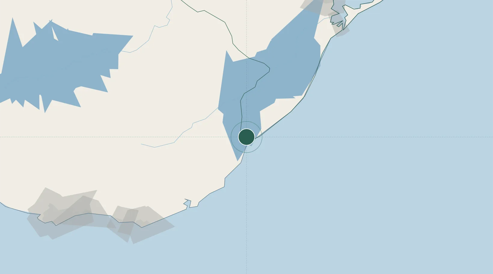
Populated place
Region
Rio Grande do Sul
Population
6,605
Time zone
America/Sao_Paulo
Elevation
20 m
Location
Nearby Logistics Neighbours
Cities
- 1Santa Vitória do Palmar20 km
- 2Jaguarão126 km
- 3Arbolito137 km
- 4Piriápolis213 km
- 5Rio Grande213 km
Ports
- 1La Paloma125 km
- 2Jose Ignacio182 km
- 3Rio Grande222 km
- 4Pelotas236 km
- 5Montevideo288 km
Airports
Trade Zones
- 1ZPE de Rio Grande (RS)214 km
- 2Florida Free Zone261 km
- 3Parque Las Ciencias Free Zone266 km
- 4Parque de las Ciencias Free Zone267 km
- 5Zonamerica Free Zone271 km
DatabookThe Record of Consolidated Knowledge
Brazil beyond logistics?