Medium airport · Uruguay

Santa Bernardina International AirportSUDU
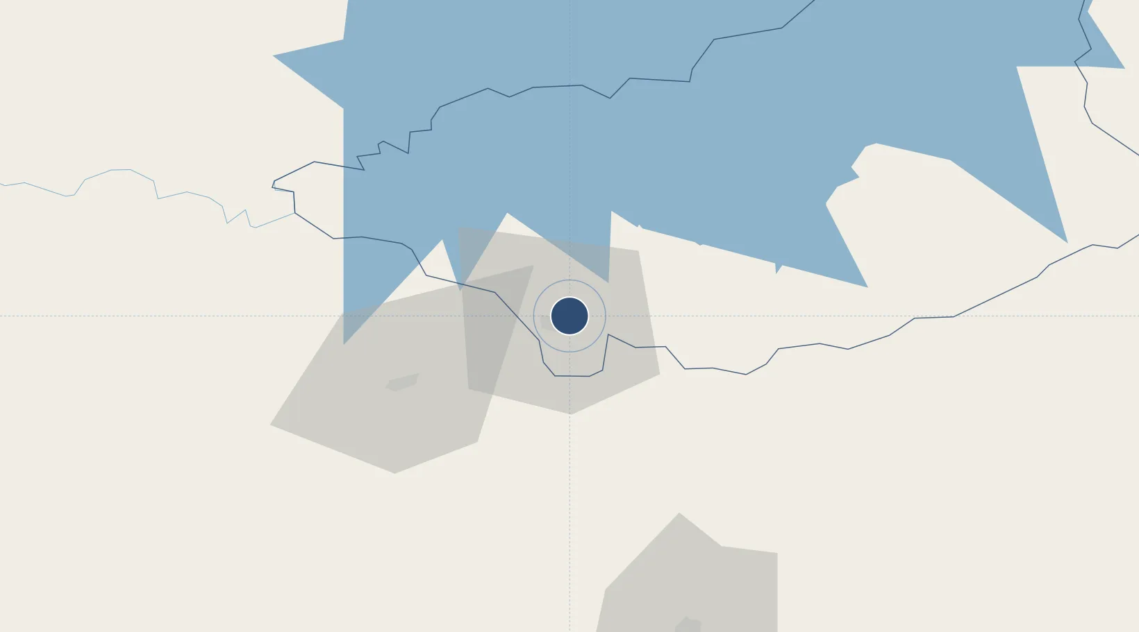
-33.3589°, -56.4992°
7,477 ft
Longest runway
2
Runways
305 ft
Elevation

Runway & Layout

Santa Bernardina International Airport runway & taxiway layout
Runway & taxiway layout — OpenStreetMap (ODbL) / OurAirports

Radio Frequencies

TWR
120.4 MHz
DURAZNO TWR
APP
120.4 MHz
DURAZNO APP
OurAirports

Navaids

BD NDB Durazno 277 kHz
DO NDB Durazno 245 kHz
DUR VOR-DME Durazno 117.50 MHz
MP NDB Durazno 298 kHz
OurAirports

Runways · 2

RunwayDimensions SurfaceTrue headingLit
03/21 7,477 × 148ft Asphalt 023°
10/28 4,764 × 98ft Asphalt 090°
OurAirports

Airport Specifications

IATA code
DZO
OurAirports
ICAO code
SUDU
OurAirports
Airport class
Medium airport
OurAirports
Scheduled service
No
OurAirports
Runway surface
Asphalt
OurAirports
Served city
Durazno
OurAirports

Location

Location of SUDU
Natural Earth 10m (public domain) · Durazno · SUDU · -33.36, -56.50GoogleOSMYandex

Nearby Logistics Neighbours

Airports
  1. 1Ángel S. Adami International Airport161 km
  2. 2Carrasco General Cesáreo L. Berisso International Airport170 km
  3. 3Tydeo Larre Borges Airport183 km
  4. 4Gualeguaychu Airport201 km
  5. 5Capitan Corbeta CA Curbelo International Airport211 km
Nearest neighbours — logibook spatial index (haversine) over the source coordinates
Cities
  1. 1Joanico138 km
  2. 2Juan L. Lacaze148 km
  3. 3Nuevo Berlin150 km
  4. 4Montevideo170 km
  5. 5Concepción del Uruguay189 km
Nearest neighbours — logibook spatial index (haversine) over the source coordinates
Ports
  1. 1Puerto Sauce148 km
  2. 2Fray Bentos171 km
  3. 3Montevideo173 km
  4. 4Colonia175 km
  5. 5Paysandu187 km
Nearest neighbours — logibook spatial index (haversine) over the source coordinates
Trade Zones
  1. 1Florida Free Zone87 km
  2. 2Nueva Helvecia Free Zone126 km
  3. 3Colonia Suiza Free Zone127 km
  4. 4Libertad Free Zone144 km
  5. 5Zonamerica Free Zone164 km
Nearest neighbours — logibook spatial index (haversine) over the source coordinates
DatabookThe Record of Consolidated Knowledge
Uruguay beyond logistics?
Browse databook

All Sources

AirportsOurAirports
Public domain
Portsthe NGA World Port Index
Public domain (US gov)
LocationsUN/LOCODE
UN/LOCODE — free
Trade Zonesthe World Bank SEZ database
CC BY 4.0
Trade ZonesOpen Zone Map
CC BY
InfrastructureOpenStreetMap
ODbL 1.0
← Uruguay airports