Medium airport · Uruguay
Pres. Gral. Óscar D. Gestido Binational AirportSURV
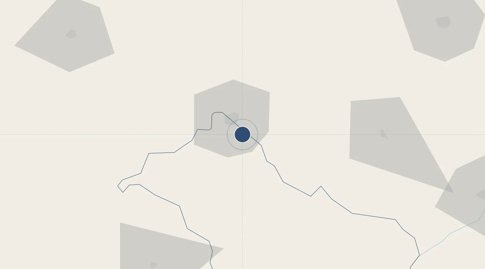
-30.9746°, -55.4762°
6,004 ft
Longest runway
1
Runways
712 ft
Elevation
Runway & Layout

Navaids
RV NDB Rivera 260 kHz
RVA NDB Rivera 305 kHz
Runways · 1
| Runway | Dimensions | Surface | True heading | Lit |
|---|---|---|---|---|
| 05/23 | 6,004 × —ft | Unknown | — | — |
Airport Specifications
IATA code
RVY
ICAO code
SURV
Airport class
Medium airport
Scheduled service
Yes
Runway surface
Unknown
Served city
Rivera/Santana do Livramento
Location
Nearby Logistics Neighbours
Airports
- 1Comandante Gustavo Kraemer Airport138 km
- 2Rubem Berta Airport200 km
- 3Paso De Los Libres Airport215 km
- 4Monte Caseros Airport221 km
- 5Santa Maria Airport222 km
Cities
- 1Sant'Ana do Livramento12 km
- 2Quaraí115 km
- 3Cacequi139 km
- 4Aceguá159 km
- 5Uruguaiana205 km
Ports
- 1Concordia248 km
- 2Paysandu287 km
- 3Colon287 km
- 4Concepcion Del Uruguay310 km
- 5Pelotas312 km
Trade Zones
- 1Rivera Free Zone8 km
- 2ZPE de Rio Grande (RS)337 km
- 3UPM Fray Bentos Free Zone354 km
- 4Zona Franca UPM355 km
- 5Florida Free Zone356 km
DatabookThe Record of Consolidated Knowledge
Uruguay beyond logistics?