Medium airport · Uruguay

Capitan Corbeta CA Curbelo International AirportSULS
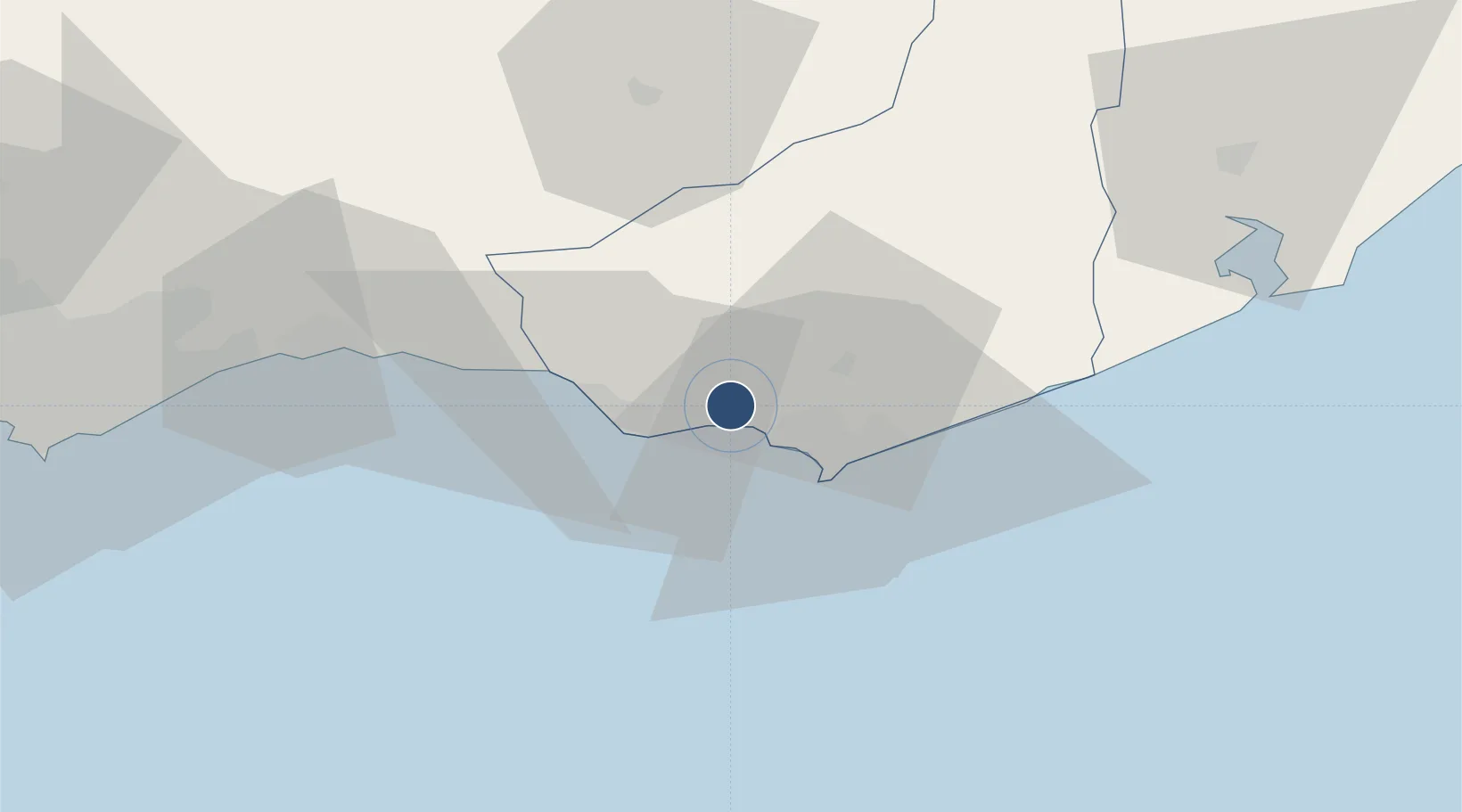
-34.8551°, -55.0943°
6,998 ft
Longest runway
2
Runways
95 ft
Elevation

Runway & Layout

Capitan Corbeta CA Curbelo International Airport runway & taxiway layout
Runway & taxiway layout — OpenStreetMap (ODbL) / OurAirports

Radio Frequencies

ATIS
117.6 MHz
TWR
118.3 MHz
A/G
122.1 MHz
RDO
45.662 MHz
OurAirports

Navaids

LDS VOR-DME Curbelo 117.60 MHz
LS NDB Curbelo 239 kHz
OurAirports

Runways · 2

RunwayDimensions SurfaceTrue headingLit
08/26 6,998 × 148ft Asphalt 072°
01/19 5,249 × 125ft Asphalt 358°
OurAirports

Airport Specifications

IATA code
PDP
OurAirports
ICAO code
SULS
OurAirports
Airport class
Medium airport
OurAirports
Scheduled service
Yes
OurAirports
Runway surface
Asphalt
OurAirports
Served city
Punta del Este
OurAirports

Location

Location of SULS
Natural Earth 10m (public domain) · Maldonado · SULS · -34.86, -55.09GoogleOSMYandex

Nearby Logistics Neighbours

Cities
  1. 1Piriápolis16 km
  2. 2Montevideo104 km
  3. 3Joanico110 km
  4. 4Cabo San Antonio187 km
  5. 5Chuí200 km
Nearest neighbours — logibook spatial index (haversine) over the source coordinates
Ports
  1. 1Jose Ignacio38 km
  2. 2La Paloma89 km
  3. 3Montevideo103 km
  4. 4Puerto Sauce221 km
  5. 5La Plata255 km
Nearest neighbours — logibook spatial index (haversine) over the source coordinates
Trade Zones
  1. 1Parque Las Ciencias Free Zone83 km
  2. 2Parque de las Ciencias Free Zone84 km
  3. 3Zonamerica Free Zone90 km
  4. 4World Trade Center Free Zone95 km
  5. 5Aguada Park Free Zone101 km
Nearest neighbours — logibook spatial index (haversine) over the source coordinates
DatabookThe Record of Consolidated Knowledge
Uruguay beyond logistics?
Browse databook

All Sources

AirportsOurAirports
Public domain
Portsthe NGA World Port Index
Public domain (US gov)
LocationsUN/LOCODE
UN/LOCODE — free
Trade Zonesthe World Bank SEZ database
CC BY 4.0
Trade ZonesOpen Zone Map
CC BY
InfrastructureOpenStreetMap
ODbL 1.0
← Uruguay airports