Seaport · Uruguay
MontevideoUYMVD
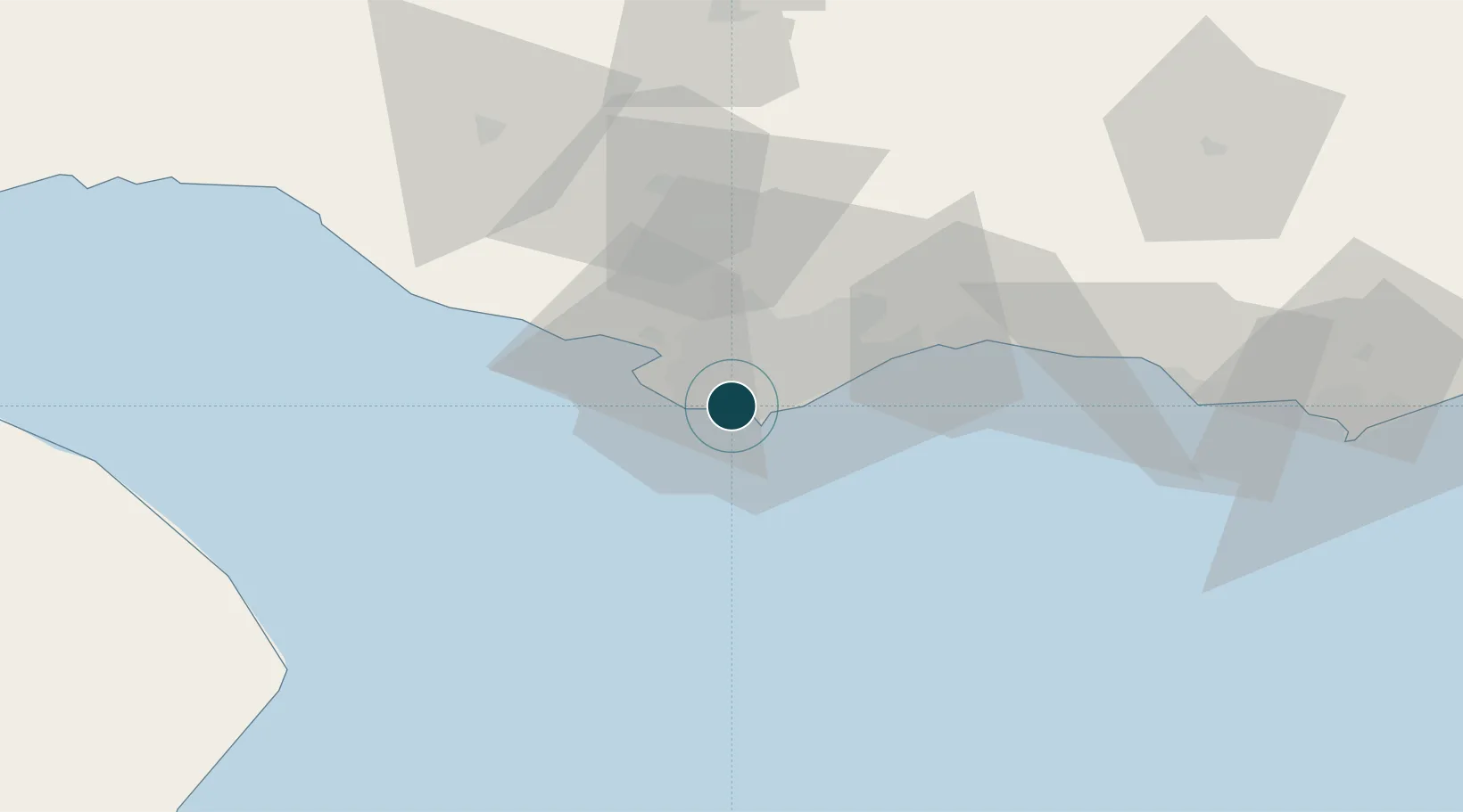
-34.9000°, -56.2167°
11.0 m
Channel depth
2
Container terminals
238.8
Port liner connectivity
Channel & Berth Profile
Pilotage, Tugs & Services
Pilotage compulsoryYES
Pilotage availableYES
Tug assistanceYES
Potable waterYES
Diesel bunkersYES
MedicalYES
Garbage disposalYES
Facilities & Capabilities
Container—
Ro-Ro—
Liquid bulk—
Dry bulk—
Oil terminal—
Break bulk—
Dry dockNO
RepairsNO
BunkeringYES
Rail linkYES
Dangerous cargo—
ISPS security—
Harbour Specifications
Harbour size
Medium
Harbour type
Coastal (Breakwater)
Shelter
Good
Water body
South Atlantic Ocean
Tidal range
1 m
Overhead limit
Yes
Pilotage
Yes
Liner Connectivity
238.8
PLSCI
Port Liner Shipping Connectivity Index for Montevideo, as published by UNCTAD for the latest available quarter. Higher values indicate stronger scheduled liner-shipping integration.
Shown relative to the highest per-port PLSCI in the dataset (1,657.9).
Location
Container Terminals · 2
MONTECON
MONTE MONTECON SA
TERMINAL CUENCA DEL PLATA
TCDP TERMINAL CUENCA DEL PLATA SA
Nearby Logistics Neighbours
Ports
- 1Puerto Sauce124 km
- 2Jose Ignacio138 km
- 3La Plata152 km
- 4Colonia157 km
- 5La Paloma191 km
Cities
- 1Joanico35 km
- 2Piriápolis87 km
- 3Juan L. Lacaze124 km
- 4Cabo San Antonio130 km
- 5La Plata153 km
Airports
Trade Zones
DatabookThe Record of Consolidated Knowledge
Uruguay beyond logistics?