UN/LOCODE hub · United States
USZQE
Quarryville
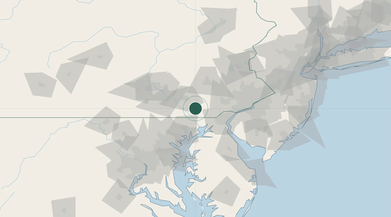
39.8833°, -76.1500°
2,736
Population
4
Transport functions
Transport Functions
Port
Rail
Road
Multimodal
Hub Profile
Place type
Populated place
Region
Pennsylvania
Population
2,736
Time zone
America/New_York
Elevation
156 m
Location
Nearby Logistics Neighbours
Cities
- 1New Providence6 km
- 2Strasburg10 km
- 3Lampeter14 km
- 4Christiana15 km
- 5Ronks15 km
Ports
- 1Havre De Grace39 km
- 2Wilmington54 km
- 3New Castle56 km
- 4Deepwater Point58 km
- 5Salem Nj62 km
Airports
Trade Zones
- 1FTZ No. 099 Wilmington54 km
- 2FTZ No. 147 Berks County59 km
- 3FTZ No. 035 Philadelphia77 km
- 4FTZ No. 074 Baltimore79 km
- 5FTZ No. 073 BWI Airport90 km
DatabookThe Record of Consolidated Knowledge
United States beyond logistics?