UN/LOCODE hub · United States
USCT7
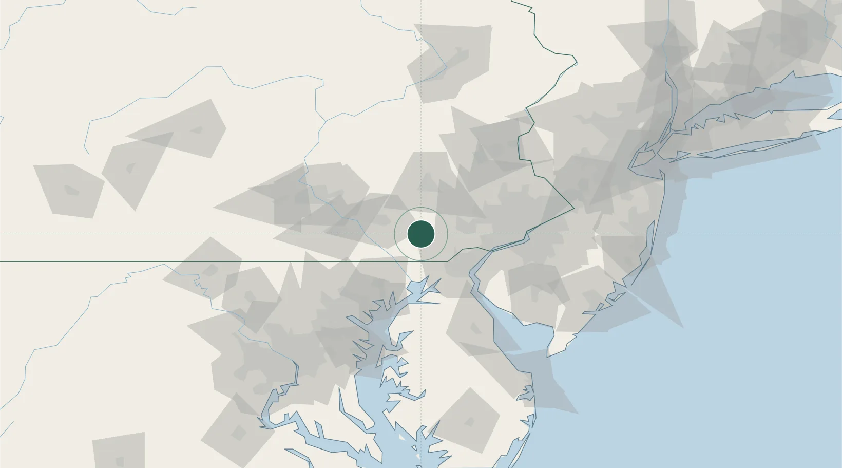
Christiana
39.9500°, -76.0000°
1,171
Population
2
Transport functions
Transport Functions
Road
Multimodal
Hub Profile
Place type
Populated place
Region
Pennsylvania
Population
1,171
Time zone
America/New_York
Elevation
145 m
Location
Nearby Logistics Neighbours
Cities
- 1Gap4 km
- 2Pomeroy10 km
- 3Gordonville14 km
- 4Quarryville15 km
- 5Strasburg16 km
Ports
- 1Wilmington45 km
- 2Havre De Grace47 km
- 3Deepwater Point50 km
- 4New Castle50 km
- 5Marcus Hook52 km
Airports
Trade Zones
DatabookThe Record of Consolidated Knowledge
United States beyond logistics?