Transport Functions
Port
Rail
Road
Multimodal
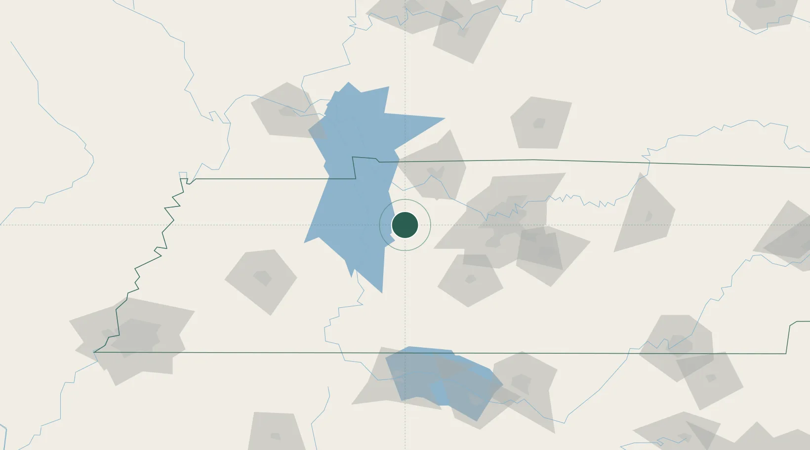
Hub Profile
Place type
Populated place
Region
Tennessee
Population
1,703
Time zone
America/Chicago
Elevation
253 m
Location
Nearby Logistics Neighbours
Cities
- 1Dickson21 km
- 2Erin25 km
- 3Arlington, Houston26 km
- 4Tennessee Ridge26 km
- 5Burns29 km
Ports
- 1Port Of Memphis258 km
- 2Gary614 km
- 3Indiana Harbor619 km
- 4Calumet Harbor627 km
- 5Michigan City630 km
Airports
Trade Zones
- 1FTZ No. 078 Nashville50 km
- 2FTZ No. 294 Western Kentucky138 km
- 3FTZ No. 265 Conroe (Montgomery County)171 km
- 4FTZ No. 270 Lawrence County174 km
- 5FTZ No. 083 Huntsville179 km
DatabookThe Record of Consolidated Knowledge
United States beyond logistics?