UN/LOCODE hub · United States
USZKN
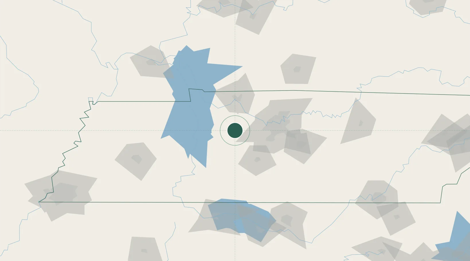
Dickson
36.0667°, -87.3833°
15,359
Population
4
Transport functions
Transport Functions
Port
Rail
Road
Multimodal
Hub Profile
Place type
Populated place
Region
Tennessee
Population
15,359
Time zone
America/Chicago
Elevation
245 m
Location
Nearby Logistics Neighbours
Cities
- 1Burns8 km
- 2Bon Aqua16 km
- 3Lyles17 km
- 4Liberty Hill, Williamson20 km
- 5McEwen21 km
Ports
- 1Port Of Memphis275 km
- 2Gary617 km
- 3Indiana Harbor623 km
- 4Calumet Harbor630 km
- 5Michigan City632 km
Airports
Trade Zones
- 1FTZ No. 078 Nashville32 km
- 2FTZ No. 294 Western Kentucky154 km
- 3FTZ No. 265 Conroe (Montgomery County)161 km
- 4FTZ No. 270 Lawrence County164 km
- 5FTZ No. 083 Huntsville168 km
DatabookThe Record of Consolidated Knowledge
United States beyond logistics?