UN/LOCODE hub · United States
USZFK
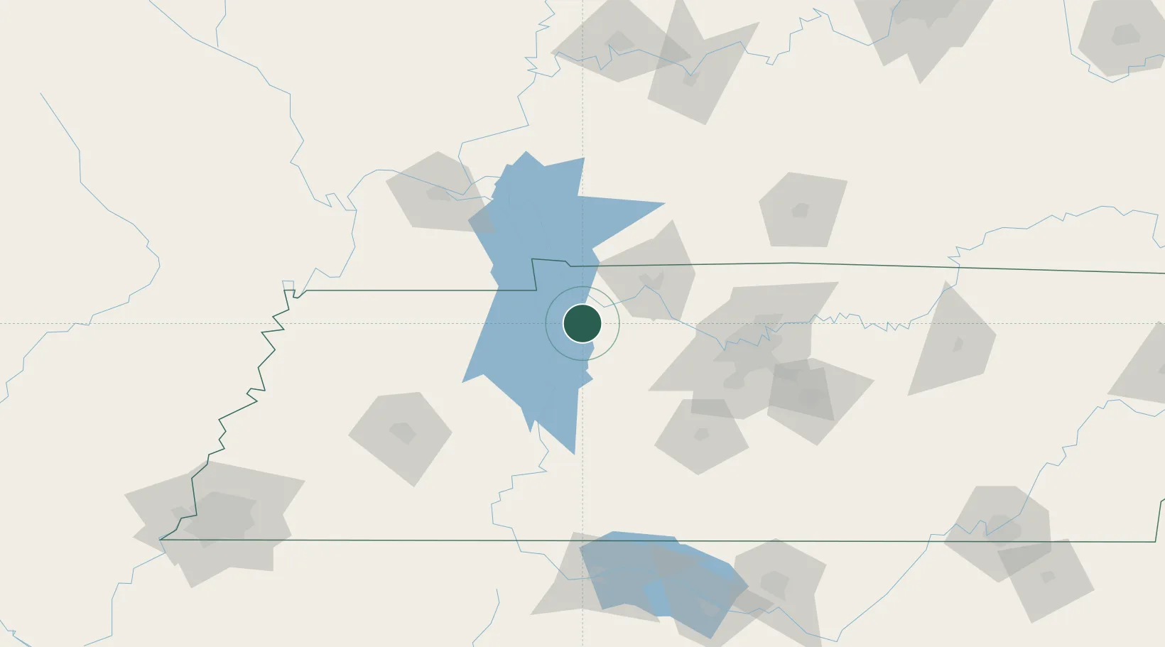
Tennessee Ridge
36.3000°, -87.7667°
1,329
Population
1
Transport functions
Transport Functions
Multimodal
Hub Profile
Place type
Populated place
Region
Tennessee
Population
1,329
Time zone
America/Chicago
Elevation
232 m
Location
Nearby Logistics Neighbours
Cities
- 1Arlington, Houston5 km
- 2Erin8 km
- 3Cumberland City16 km
- 4McEwen26 km
- 5Cumberland Furnace36 km
Ports
- 1Port Of Memphis257 km
- 2Gary592 km
- 3Indiana Harbor597 km
- 4Calumet Harbor605 km
- 5Michigan City609 km
Airports
Trade Zones
- 1FTZ No. 078 Nashville64 km
- 2FTZ No. 294 Western Kentucky112 km
- 3FTZ No. 283 West Tennessee182 km
- 4FTZ No. 177 Evansville189 km
- 5FTZ No. 265 Conroe (Montgomery County)196 km
DatabookThe Record of Consolidated Knowledge
United States beyond logistics?