UN/LOCODE hub · United States
USAGW

Arlington, Houston

36.3167°, -87.7167°
2
Transport functions

Transport Functions

Road
Multimodal
UN/LOCODE

Hub Profile

Region
TN
GeoNames

Location

Location of USAGW
Natural Earth 10m (public domain) · TN · USAGW · 36.32, -87.72GoogleOSMYandex

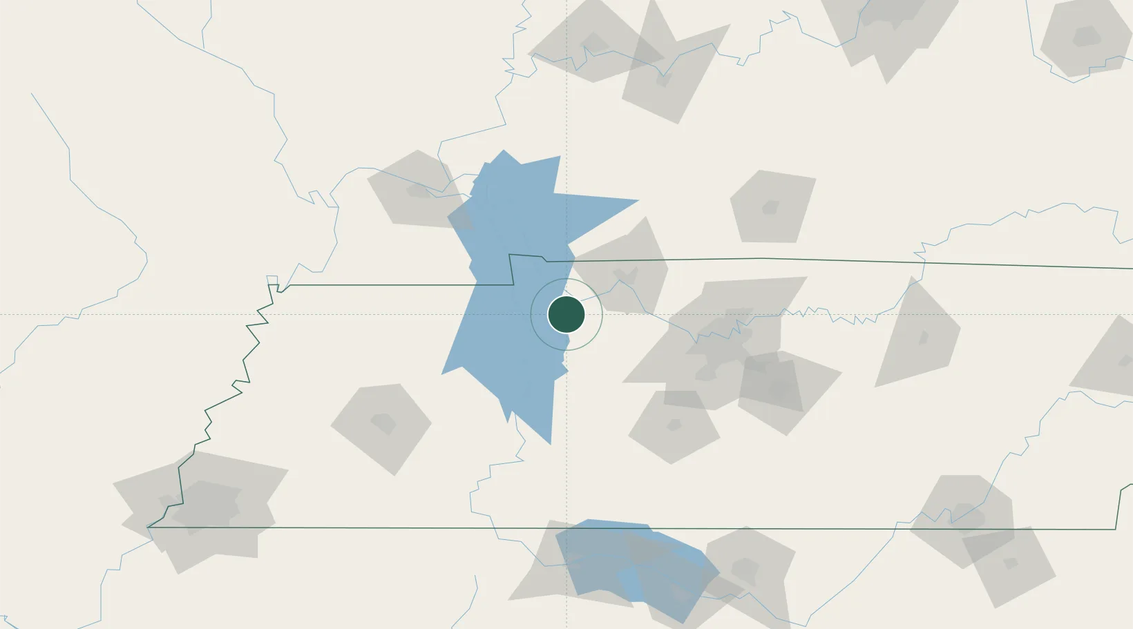
Nearby Logistics Neighbours

Cities
  1. 1Erin3 km
  2. 2Tennessee Ridge5 km
  3. 3Cumberland City12 km
  4. 4McEwen26 km
  5. 5Cumberland Furnace32 km
Nearest neighbours — logibook spatial index (haversine) over the source coordinates
Ports
  1. 1Port Of Memphis261 km
  2. 2Gary590 km
  3. 3Indiana Harbor595 km
  4. 4Calumet Harbor603 km
  5. 5Michigan City606 km
Nearest neighbours — logibook spatial index (haversine) over the source coordinates
Airports
  1. 1Campbell Army Airfield (Fort Campbell)45 km
  2. 2Nashville International Airport96 km
  3. 3Smyrna Airport113 km
  4. 4Barkley Regional Airport125 km
  5. 5McKellar-Sipes Regional Airport134 km
Nearest neighbours — logibook spatial index (haversine) over the source coordinates
Trade Zones
  1. 1FTZ No. 078 Nashville60 km
  2. 2FTZ No. 294 Western Kentucky114 km
  3. 3FTZ No. 283 West Tennessee187 km
  4. 4FTZ No. 177 Evansville187 km
  5. 5FTZ No. 265 Conroe (Montgomery County)196 km
Nearest neighbours — logibook spatial index (haversine) over the source coordinates
DatabookThe Record of Consolidated Knowledge
United States beyond logistics?
Browse databook

All Sources

LocationsUN/LOCODE
UN/LOCODE — free
Portsthe NGA World Port Index
Public domain (US gov)
AirportsOurAirports
Public domain
Trade Zonesthe World Bank SEZ database
CC BY 4.0
Trade ZonesOpen Zone Map
CC BY
← United States locations