UN/LOCODE hub · United States
USZVY
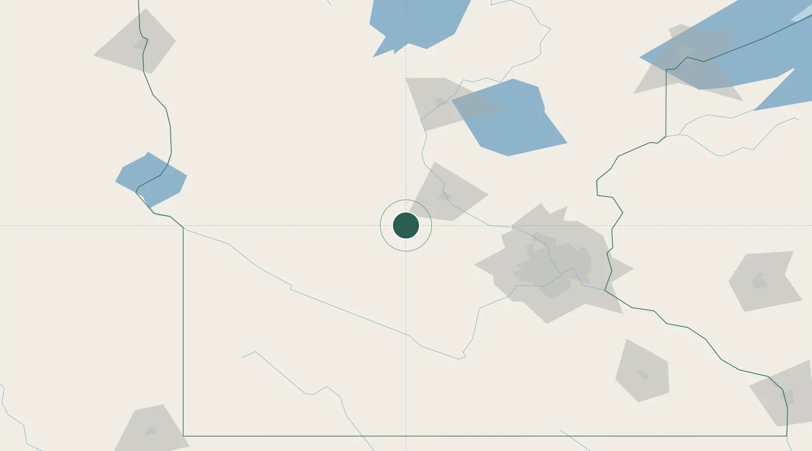
Eden Valley
45.3167°, -94.5333°
1,036
Population
4
Transport functions
Transport Functions
Port
Rail
Road
Multimodal
Hub Profile
Place type
Populated place
Region
Minnesota
Population
1,036
Time zone
America/Chicago
Elevation
340 m
Location
Nearby Logistics Neighbours
Ports
- 1Superior247 km
- 2Duluth248 km
- 3Two Harbors292 km
- 4Ashland317 km
- 5Washburn319 km
Airports
Trade Zones
- 1FTZ No. 119 Minneapolis-St. Paul109 km
- 2FTZ No. 051 Duluth239 km
- 3FTZ No. 267 Fargo254 km
- 4FTZ No. 220 Sioux Falls266 km
- 5FTZ No. 288 Northwest Iowa269 km
DatabookThe Record of Consolidated Knowledge
United States beyond logistics?