Transport Functions
Rail
Road
Hub Profile
Place type
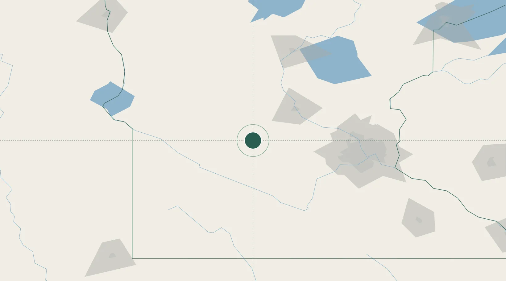
Populated place
Region
Minnesota
Population
1,124
Time zone
America/Chicago
Elevation
372 m
Location
Nearby Logistics Neighbours
Cities
- 1Eden Valley28 km
- 2Watkins35 km
- 3Raymond38 km
- 4Prinsburg39 km
- 5Dassel39 km
Ports
- 1Superior275 km
- 2Duluth276 km
- 3Two Harbors320 km
- 4Ashland344 km
- 5Washburn347 km
Airports
Trade Zones
- 1FTZ No. 119 Minneapolis-St. Paul123 km
- 2FTZ No. 220 Sioux Falls238 km
- 3FTZ No. 288 Northwest Iowa242 km
- 4FTZ No. 267 Fargo255 km
- 5FTZ No. 051 Duluth267 km
DatabookThe Record of Consolidated Knowledge
United States beyond logistics?