UN/LOCODE hub · United States
USWH3
White Pine
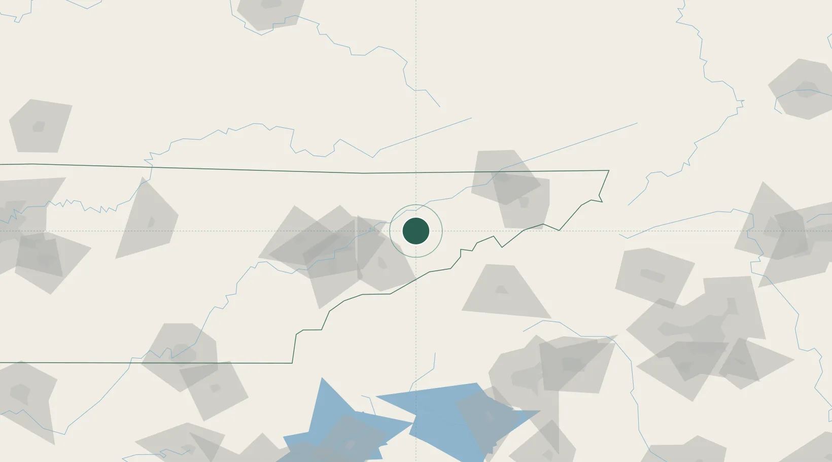
36.1000°, -83.2833°
2,244
Population
2
Transport functions
Transport Functions
Road
Multimodal
Hub Profile
Place type
Populated place
Region
Tennessee
Population
2,244
Time zone
America/New_York
Elevation
347 m
Location
Nearby Logistics Neighbours
Cities
- 1Talbott12 km
- 2Whitesburg23 km
- 3Bulls Gap23 km
- 4Mosheim30 km
- 5Del Rio30 km
Ports
- 1Beaufort473 km
- 2Georgetown475 km
- 3Port Royal479 km
- 4Charleston481 km
- 5Savannah490 km
Airports
Trade Zones
- 1FTZ No. 148 Knoxville86 km
- 2FTZ No. 204 Tri-Cities89 km
- 3FTZ No. 038 Spartanburg County164 km
- 4FTZ No. 057 Mecklenburg County220 km
- 5FTZ No. 134 Chattanooga220 km
DatabookThe Record of Consolidated Knowledge
United States beyond logistics?