Transport Functions
Rail
Road
Multimodal
Hub Profile
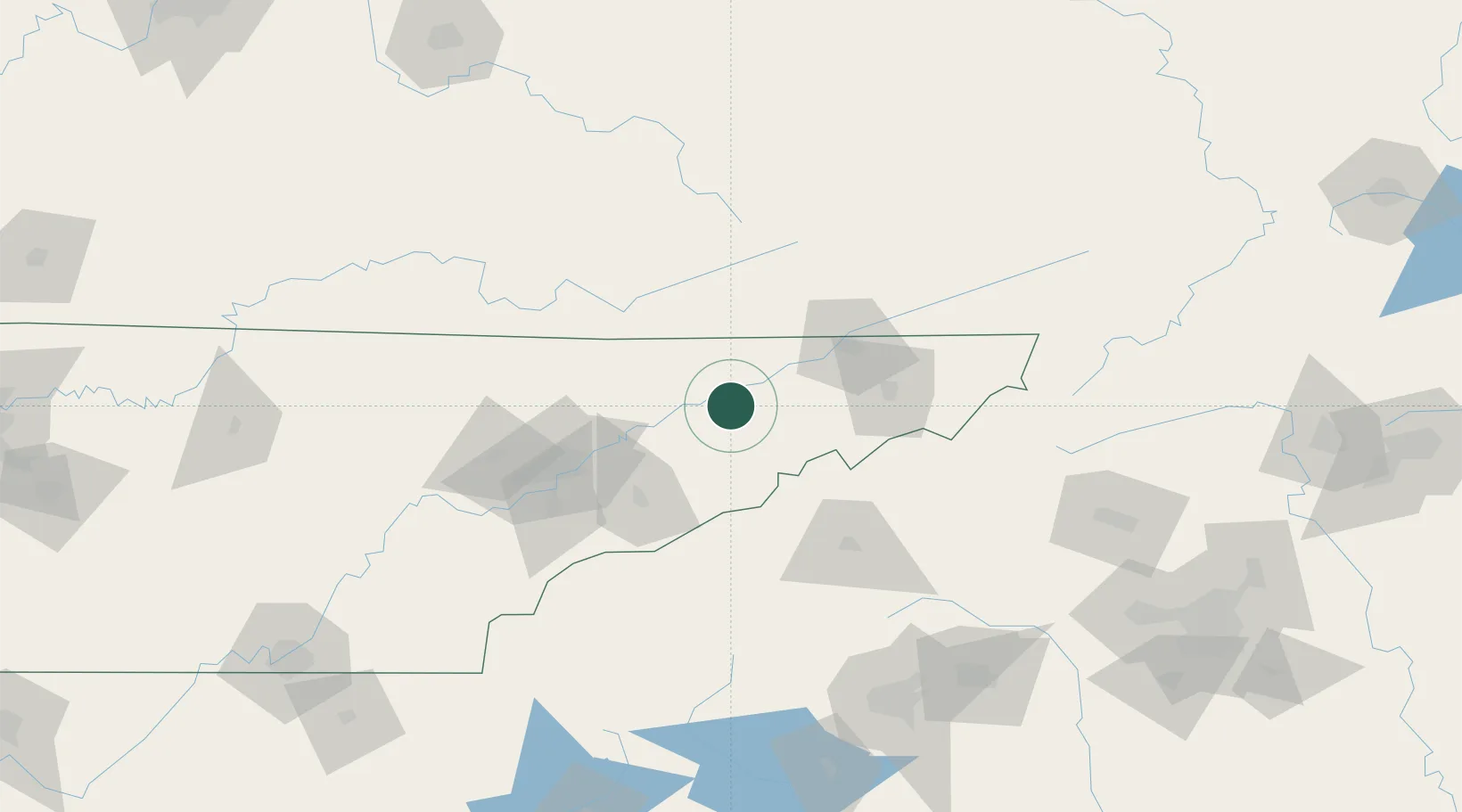
Place type
Populated place
Region
Tennessee
Time zone
America/New_York
Elevation
366 m
Location
Nearby Logistics Neighbours
Cities
- 1Bulls Gap4 km
- 2Marvin14 km
- 3Mosheim18 km
- 4White Pine23 km
- 5Talbott27 km
Ports
- 1Georgetown477 km
- 2Beaufort483 km
- 3Charleston487 km
- 4Port Royal489 km
- 5Savannah502 km
Airports
Trade Zones
- 1FTZ No. 204 Tri-Cities69 km
- 2FTZ No. 148 Knoxville103 km
- 3FTZ No. 038 Spartanburg County173 km
- 4FTZ No. 057 Mecklenburg County216 km
- 5FTZ No. 238 Dublin236 km
DatabookThe Record of Consolidated Knowledge
United States beyond logistics?