UN/LOCODE hub · United States
USZRR
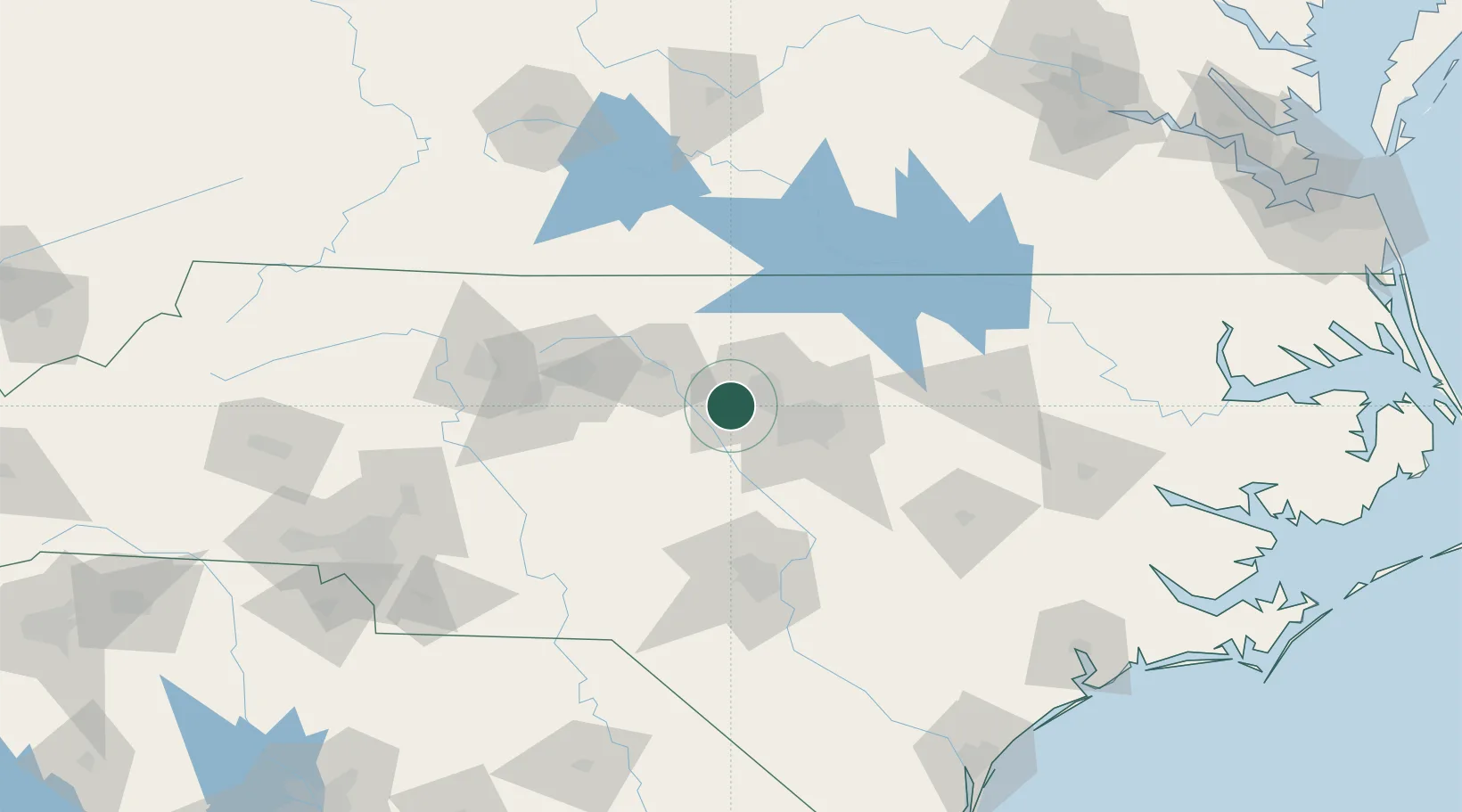
Carrboro
35.9167°, -79.0833°
21,156
Population
2
Transport functions
Transport Functions
Port
Road
Hub Profile
Place type
Populated place
Region
North Carolina
Population
21,156
Time zone
America/New_York
Elevation
141 m
Location
Nearby Logistics Neighbours
Cities
- 1Hillsborough17 km
- 2Research Triangle Park18 km
- 3Pittsboro24 km
- 4Morrisville27 km
- 5Cedar Grove29 km
Ports
- 1Washington188 km
- 2New Bern205 km
- 3Plymouth210 km
- 4Wilmington214 km
- 5Wrightsville221 km
Airports
Trade Zones
- 1FTZ No. 093 Raleigh Durham16 km
- 2FTZ No. 230 Piedmont Triad Area101 km
- 3FTZ No. 214 Lenoir County133 km
- 4FTZ No. 057 Mecklenburg County195 km
- 5FTZ No. 238 Dublin195 km
DatabookThe Record of Consolidated Knowledge
United States beyond logistics?