UN/LOCODE hub · United States
USHSG
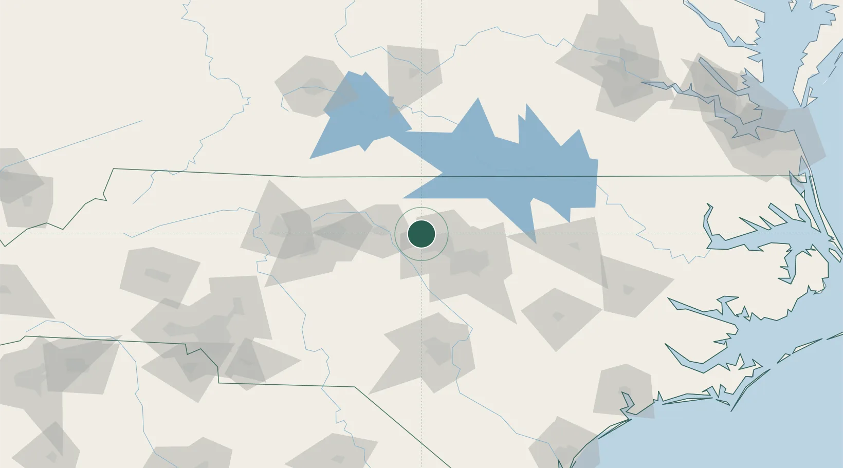
Hillsborough
36.0667°, -79.1000°
6,415
Population
3
Transport functions
Transport Functions
Rail
Road
Multimodal
Hub Profile
Place type
Provincial seat
Region
North Carolina
Population
6,415
Time zone
America/New_York
Elevation
166 m
Location
Nearby Logistics Neighbours
Cities
- 1Cedar Grove13 km
- 2Carrboro17 km
- 3Research Triangle Park27 km
- 4Butner32 km
- 5Glen Raven33 km
Ports
- 1Washington194 km
- 2Plymouth213 km
- 3New Bern214 km
- 4Richmond222 km
- 5Edenton223 km
Airports
Trade Zones
- 1FTZ No. 093 Raleigh Durham25 km
- 2FTZ No. 230 Piedmont Triad Area95 km
- 3FTZ No. 214 Lenoir County144 km
- 4FTZ No. 238 Dublin183 km
- 5FTZ No. 057 Mecklenburg County201 km
DatabookThe Record of Consolidated Knowledge
United States beyond logistics?