UN/LOCODE hub · United States
USXZM
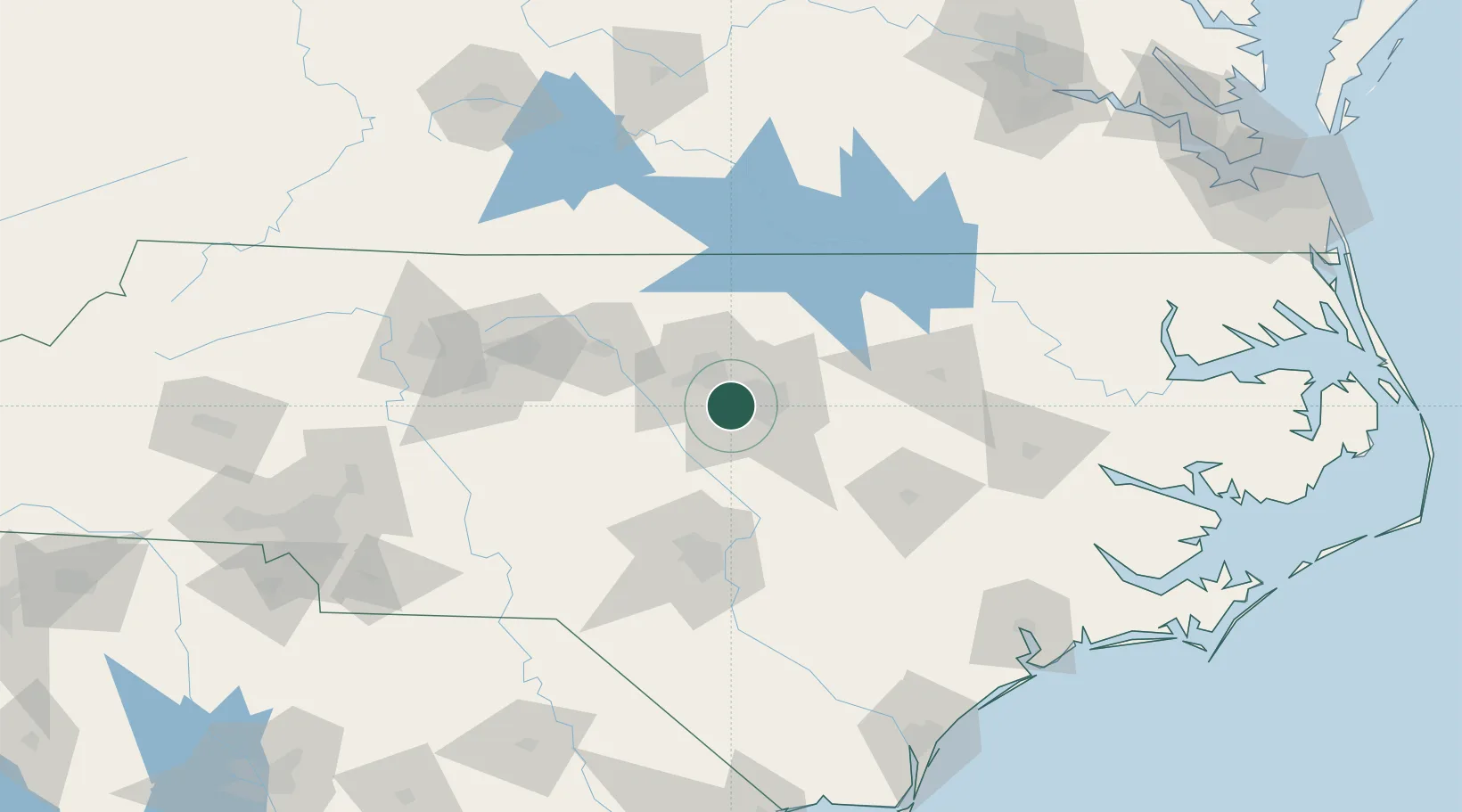
Morrisville
35.8167°, -78.8167°
23,820
Population
3
Transport functions
Transport Functions
Rail
Road
Multimodal
Hub Profile
Place type
Populated place
Region
North Carolina
Population
23,820
Time zone
America/New_York
Elevation
92 m
Location
Nearby Logistics Neighbours
Cities
- 1Research Triangle Park11 km
- 2New Hill18 km
- 3Garner24 km
- 4Carrboro27 km
- 5Knightdale32 km
Ports
- 1Washington162 km
- 2New Bern179 km
- 3Plymouth186 km
- 4Wilmington193 km
- 5Edenton200 km
Airports
Trade Zones
- 1FTZ No. 093 Raleigh Durham13 km
- 2FTZ No. 214 Lenoir County107 km
- 3FTZ No. 230 Piedmont Triad Area127 km
- 4FTZ No. 057 Mecklenburg County214 km
- 5FTZ No. 207 Richmond220 km
DatabookThe Record of Consolidated Knowledge
United States beyond logistics?