Transport Functions
Port
Road
Hub Profile
Place type
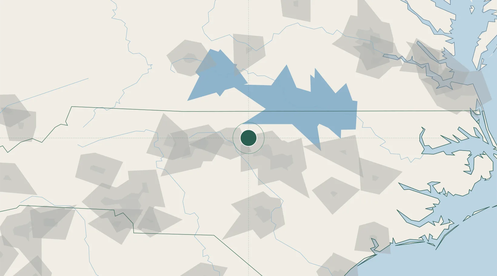
Populated place
Region
North Carolina
Time zone
America/New_York
Elevation
216 m
Location
Nearby Logistics Neighbours
Cities
- 1Hillsborough13 km
- 2Glen Raven28 km
- 3Carrboro29 km
- 4Elon31 km
- 5Gibsonville35 km
Ports
- 1Washington203 km
- 2Richmond218 km
- 3Plymouth220 km
- 4New Bern225 km
- 5Edenton229 km
Airports
Trade Zones
- 1FTZ No. 093 Raleigh Durham37 km
- 2FTZ No. 230 Piedmont Triad Area88 km
- 3FTZ No. 214 Lenoir County156 km
- 4FTZ No. 238 Dublin172 km
- 5FTZ No. 057 Mecklenburg County201 km
DatabookThe Record of Consolidated Knowledge
United States beyond logistics?