Transport Functions
Rail
Road
Hub Profile
Place type
Populated place
Region
Ohio
Time zone
America/New_York
Elevation
195 m
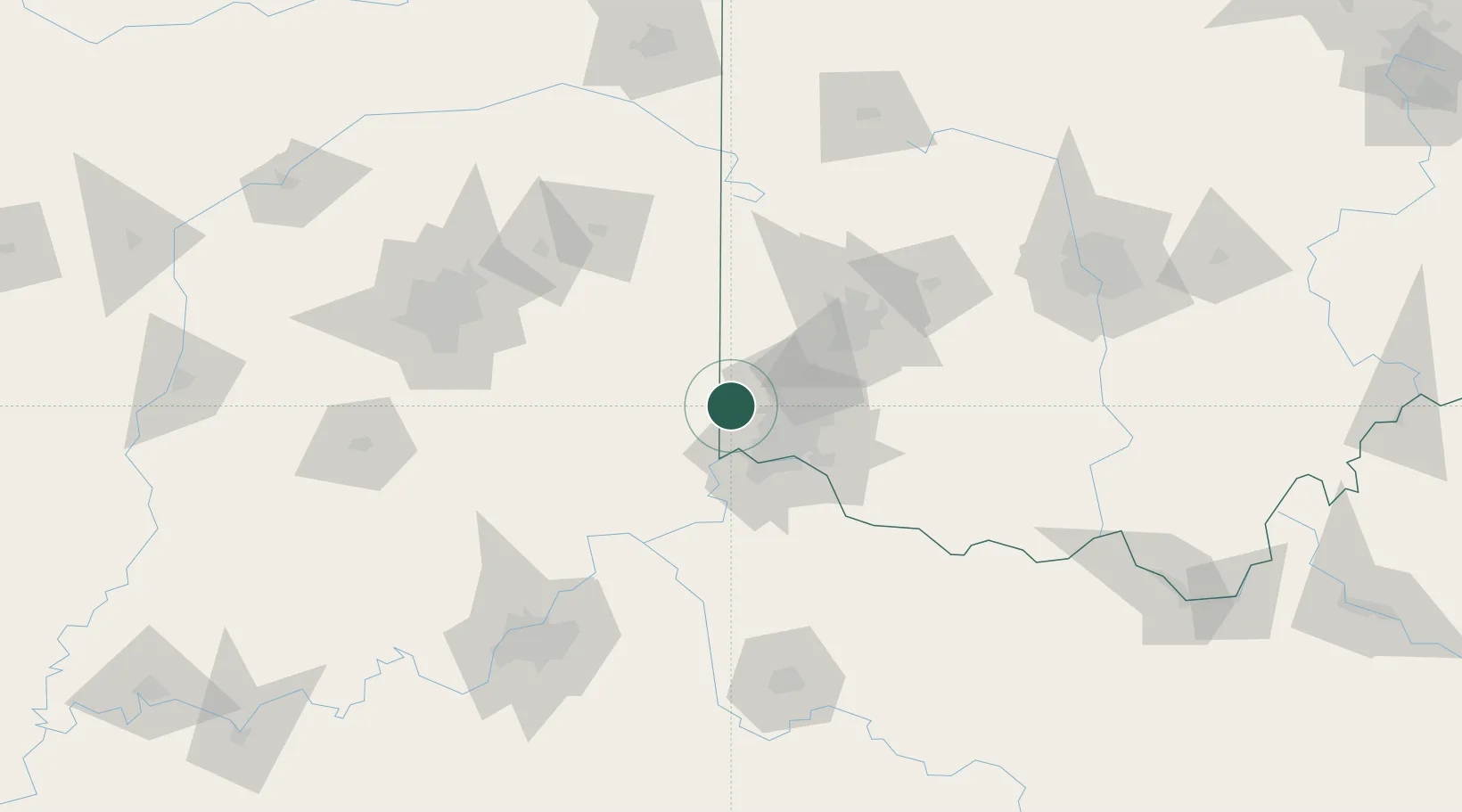
Location
Nearby Logistics Neighbours
Cities
- 1West Harrison10 km
- 2Harrison12 km
- 3New Miami21 km
- 4Brooksville21 km
- 5North Bend22 km
Ports
- 1Toledo284 km
- 2Port Clinton287 km
- 3Sandusky291 km
- 4Huron295 km
- 5Put In Bay304 km
Airports
Trade Zones
- 1FTZ No. 046 CIncinnati35 km
- 2FTZ No. 047 Boone County44 km
- 3FTZ No. 100 Dayton65 km
- 4FTZ No. 054 Clinton County85 km
- 5FTZ No. 072 Indianapolis139 km
DatabookThe Record of Consolidated Knowledge
United States beyond logistics?