Transport Functions
Rail
Road
Hub Profile
Place type
Populated place
Region
Wisconsin
Population
1,776
Time zone
America/Chicago
Elevation
259 m
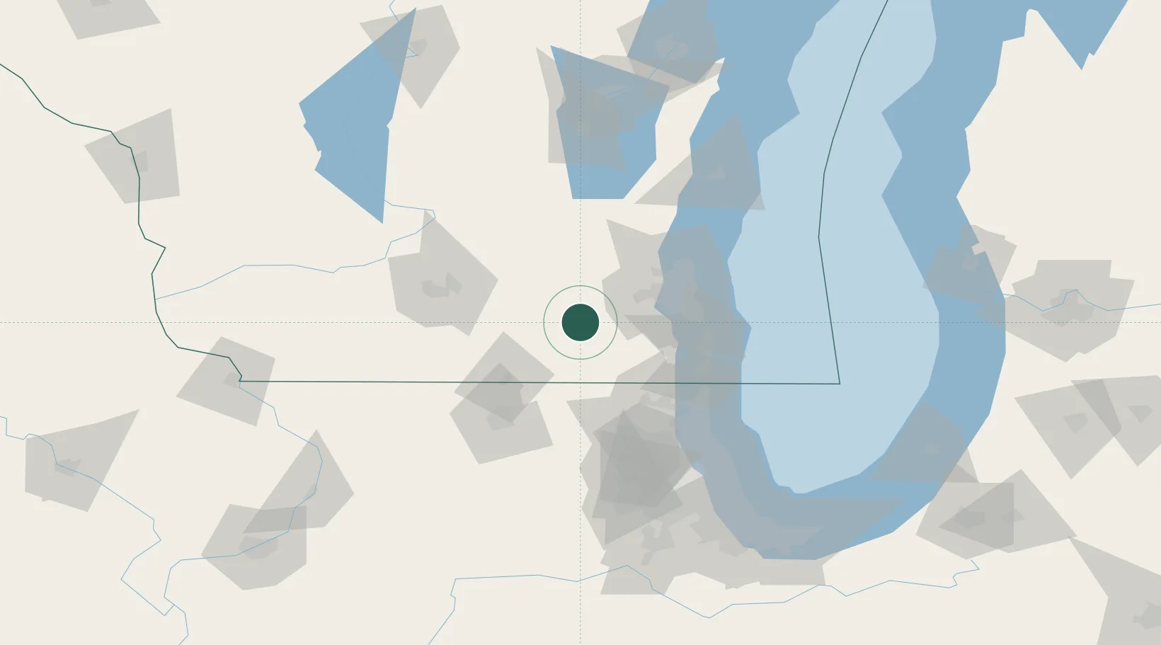
Location
Nearby Logistics Neighbours
Ports
- 1Milwaukee60 km
- 2Racine67 km
- 3Kenosha70 km
- 4Port Washington82 km
- 5Waukegan84 km
Airports
Trade Zones
- 1FTZ No. 041 Milwaukee44 km
- 2FTZ No. 292 Lake County83 km
- 3FTZ No. 176 Rockford85 km
- 4FTZ No. 266 Dane County94 km
- 5FTZ No. 022 Chicago129 km
DatabookThe Record of Consolidated Knowledge
United States beyond logistics?