Transport Functions
Port
Rail
Road
Hub Profile
Place type
Populated place
Region
Tennessee
Population
687
Time zone
America/New_York
Elevation
232 m
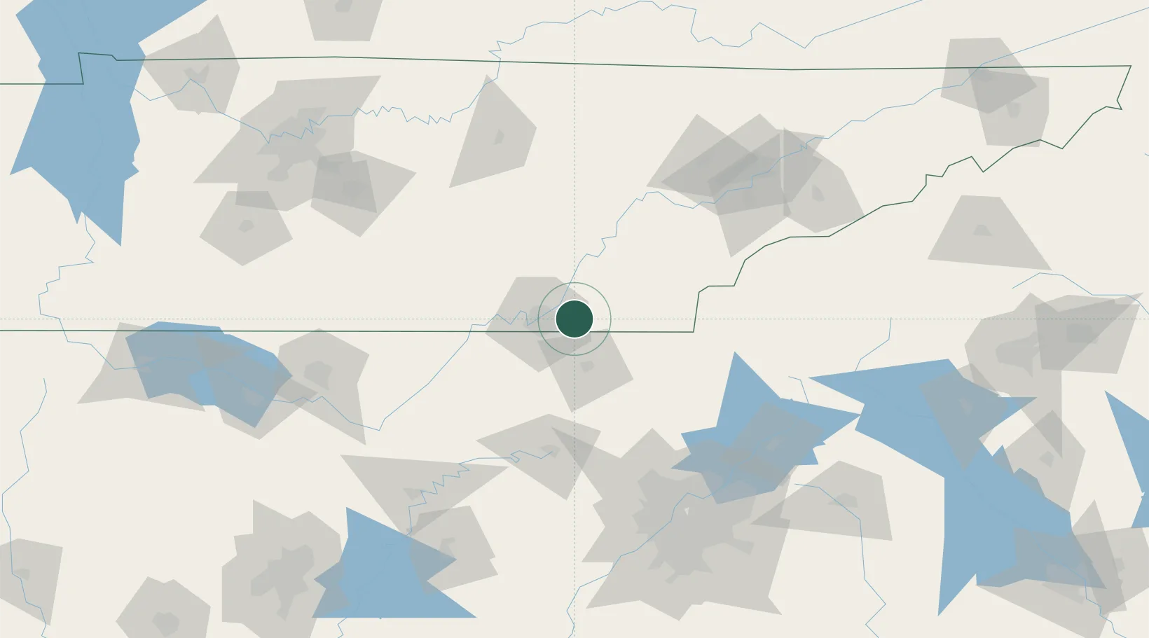
Location
Nearby Logistics Neighbours
Cities
- 1McDonald8 km
- 2Chattanooga13 km
- 3Varnell20 km
- 4Cleveland21 km
- 5Fort Oglethorpe24 km
Ports
- 1Savannah495 km
- 2Beaufort500 km
- 3Port Royal503 km
- 4Darien531 km
- 5Brunswick547 km
Airports
Trade Zones
- 1FTZ No. 134 Chattanooga30 km
- 2FTZ No. 148 Knoxville127 km
- 3FTZ No. 026 Atlanta157 km
- 4FTZ No. 083 Huntsville164 km
- 5FTZ No. 270 Lawrence County177 km
DatabookThe Record of Consolidated Knowledge
United States beyond logistics?