UN/LOCODE hub · United States
USFTT
Fort Oglethorpe
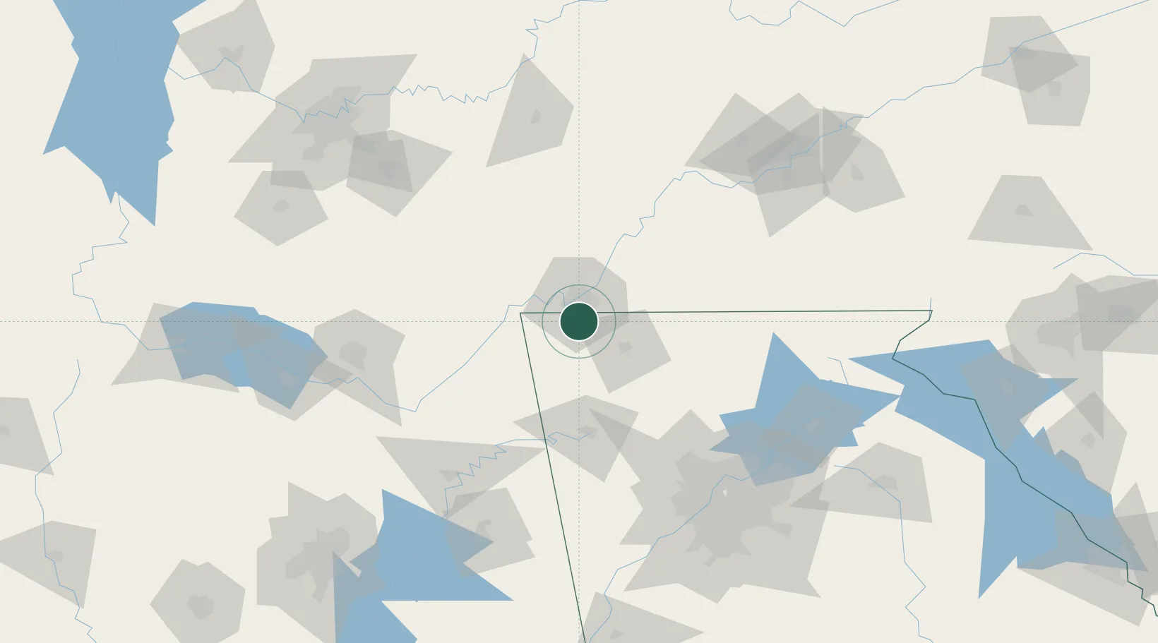
34.9333°, -85.2500°
9,803
Population
3
Transport functions
Transport Functions
Rail
Road
Multimodal
Hub Profile
Place type
Populated place
Region
Georgia
Population
9,803
Time zone
America/New_York
Elevation
223 m
Location
Nearby Logistics Neighbours
Cities
- 1Flintstone8 km
- 2Lookout Mountain9 km
- 3Chattanooga18 km
- 4Ooltewah24 km
- 5Trenton24 km
Ports
- 1Savannah500 km
- 2Beaufort507 km
- 3Port Royal510 km
- 4Darien532 km
- 5Panama City535 km
Airports
Trade Zones
- 1FTZ No. 134 Chattanooga22 km
- 2FTZ No. 083 Huntsville142 km
- 3FTZ No. 148 Knoxville150 km
- 4FTZ No. 026 Atlanta152 km
- 5FTZ No. 270 Lawrence County156 km
DatabookThe Record of Consolidated Knowledge
United States beyond logistics?