Transport Functions
Port
Rail
Road
Multimodal
Hub Profile
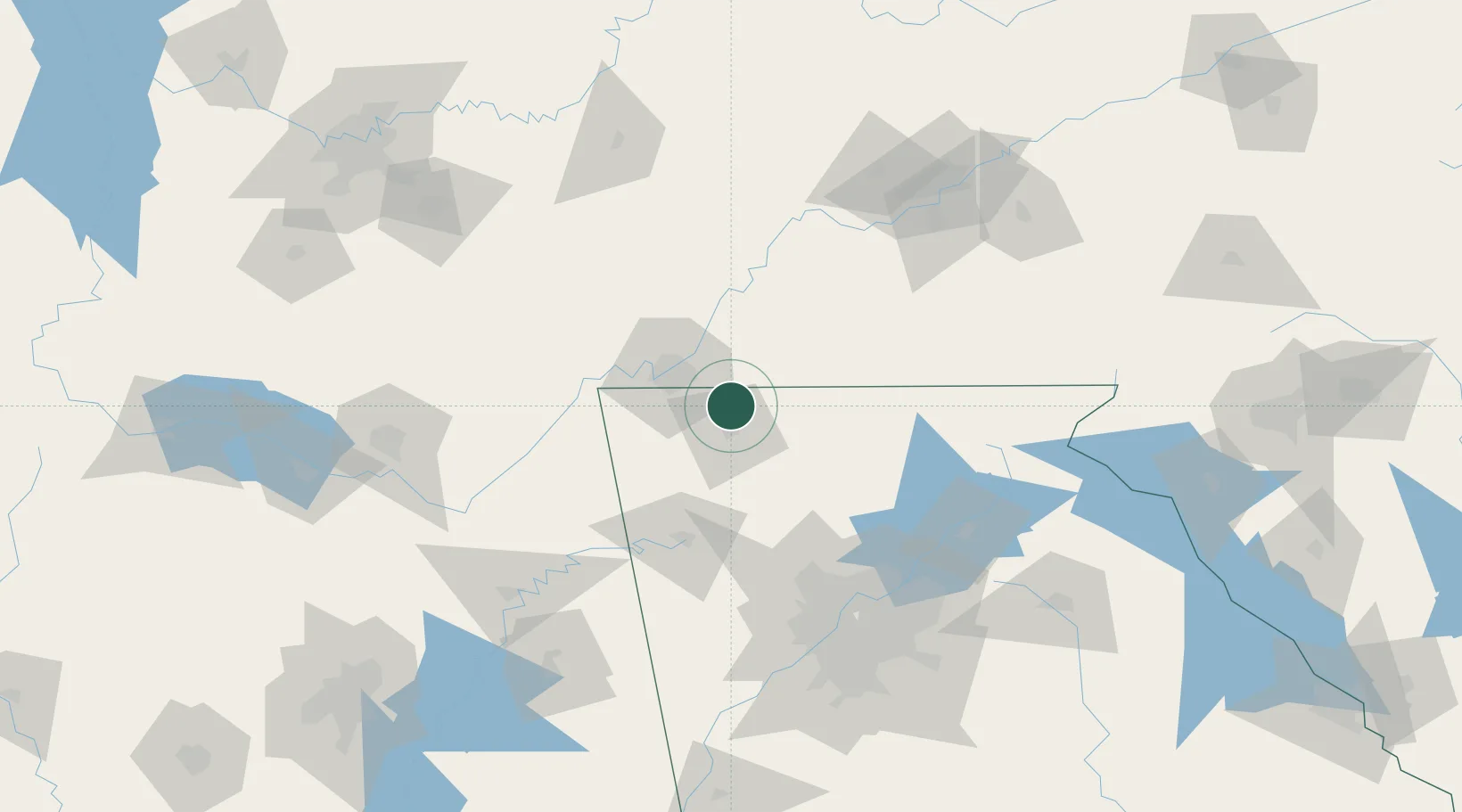
Place type
Populated place
Region
Georgia
Population
1,790
Time zone
America/New_York
Elevation
246 m
Location
Nearby Logistics Neighbours
Cities
- 1Rocky Face12 km
- 2Ooltewah20 km
- 3Eton20 km
- 4McDonald24 km
- 5Fort Oglethorpe26 km
Ports
- 1Savannah477 km
- 2Beaufort483 km
- 3Port Royal486 km
- 4Darien512 km
- 5Brunswick528 km
Airports
Trade Zones
- 1FTZ No. 134 Chattanooga44 km
- 2FTZ No. 026 Atlanta137 km
- 3FTZ No. 148 Knoxville138 km
- 4FTZ No. 083 Huntsville167 km
- 5FTZ No. 270 Lawrence County180 km
DatabookThe Record of Consolidated Knowledge
United States beyond logistics?