UN/LOCODE hub · United States
USCHA
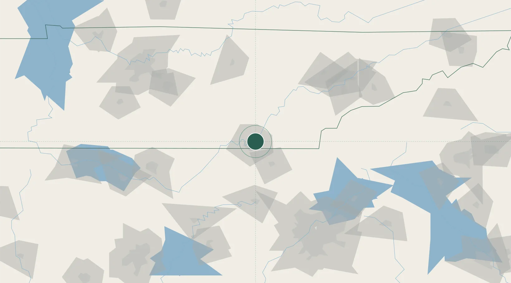
Chattanooga
35.0851°, -85.1932°
181,099
Population
3
Transport functions
Transport Functions
Rail
Road
Airport
Hub Profile
Place type
Provincial seat
Region
Tennessee
Population
181,099
Time zone
America/New_York
Elevation
206 m
Logistics facilities
2
Location
Nearby Logistics Neighbours
Cities
- 1Ooltewah13 km
- 2Lookout Mountain17 km
- 3Fort Oglethorpe18 km
- 4McDonald19 km
- 5Soddy-Daisy20 km
Ports
- 1Savannah506 km
- 2Beaufort512 km
- 3Port Royal515 km
- 4Darien541 km
- 5Panama City552 km
Airports
Trade Zones
- 1FTZ No. 134 Chattanooga17 km
- 2FTZ No. 148 Knoxville133 km
- 3FTZ No. 083 Huntsville152 km
- 4FTZ No. 026 Atlanta165 km
- 5FTZ No. 270 Lawrence County165 km
DatabookThe Record of Consolidated Knowledge
United States beyond logistics?