Transport Functions
Rail
Road
Hub Profile
Place type
Populated place
Region
Tennessee
Time zone
America/New_York
Elevation
262 m
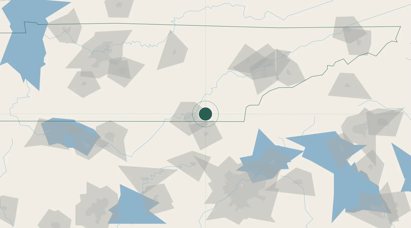
Location
Nearby Logistics Neighbours
Cities
- 1Ooltewah8 km
- 2Cleveland13 km
- 3Georgetown19 km
- 4Chattanooga19 km
- 5Soddy-Daisy24 km
Ports
- 1Savannah494 km
- 2Beaufort498 km
- 3Port Royal502 km
- 4Darien532 km
- 5Brunswick547 km
Airports
Trade Zones
- 1FTZ No. 134 Chattanooga36 km
- 2FTZ No. 148 Knoxville119 km
- 3FTZ No. 026 Atlanta160 km
- 4FTZ No. 083 Huntsville171 km
- 5FTZ No. 270 Lawrence County184 km
DatabookThe Record of Consolidated Knowledge
United States beyond logistics?