UN/LOCODE hub · United States
USUAI
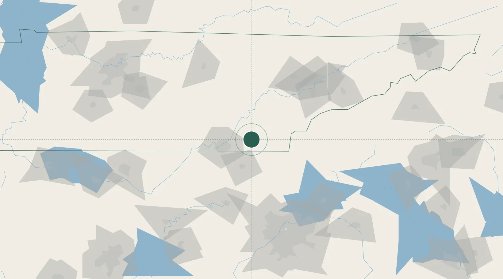
Cleveland
35.1501°, -84.8440°
43,898
Population
2
Transport functions
Transport Functions
Rail
Road
Hub Profile
Place type
Provincial seat
Region
Tennessee
Population
43,898
Time zone
America/New_York
Elevation
265 m
Logistics facilities
1
Location
Nearby Logistics Neighbours
Cities
- 1Ocoee, Polk12 km
- 2Ocoee12 km
- 3McDonald13 km
- 4Georgetown17 km
- 5Calhoun19 km
Ports
- 1Savannah487 km
- 2Beaufort490 km
- 3Port Royal494 km
- 4Darien527 km
- 5Brunswick543 km
Airports
Trade Zones
- 1FTZ No. 134 Chattanooga49 km
- 2FTZ No. 148 Knoxville109 km
- 3FTZ No. 026 Atlanta160 km
- 4FTZ No. 083 Huntsville184 km
- 5FTZ No. 270 Lawrence County197 km
DatabookThe Record of Consolidated Knowledge
United States beyond logistics?