Transport Functions
Port
Road
Multimodal
Hub Profile
Place type
Populated place
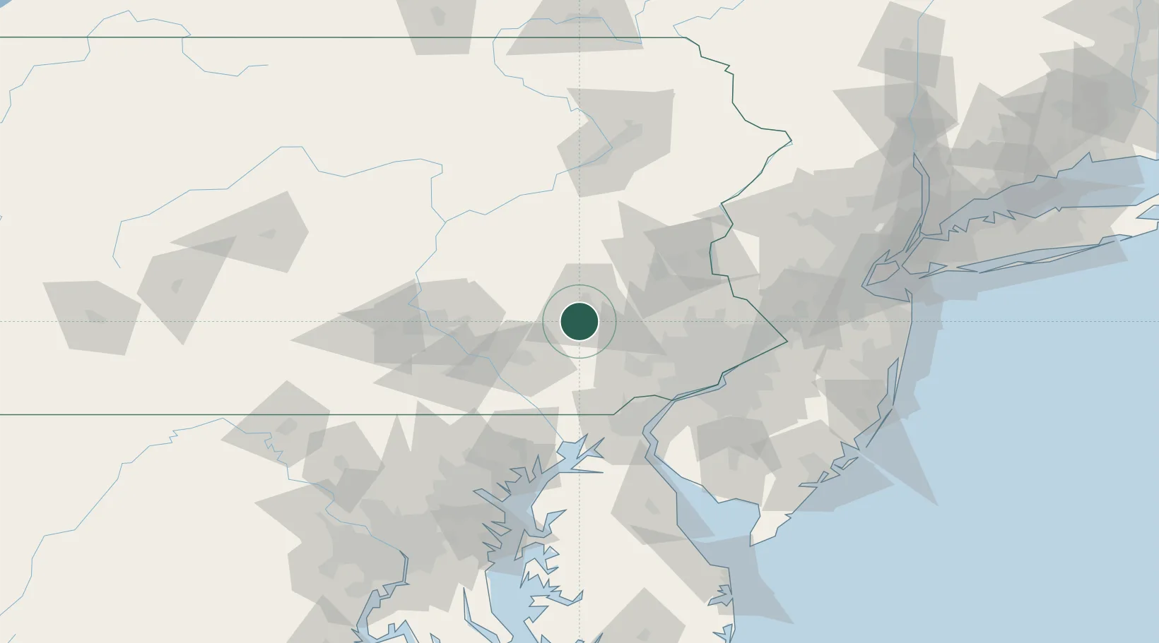
Region
Pennsylvania
Population
3,036
Time zone
America/New_York
Elevation
151 m
Location
Nearby Logistics Neighbours
Cities
- 1West Reading7 km
- 2Wernersville10 km
- 3Muhlenberg12 km
- 4Laureldale13 km
- 5Stevens15 km
Ports
- 1Marcus Hook71 km
- 2Wilmington71 km
- 3Chester72 km
- 4Deepwater Point76 km
- 5Paulsboro79 km
Airports
Trade Zones
DatabookThe Record of Consolidated Knowledge
United States beyond logistics?