UN/LOCODE hub · United States
USZDG
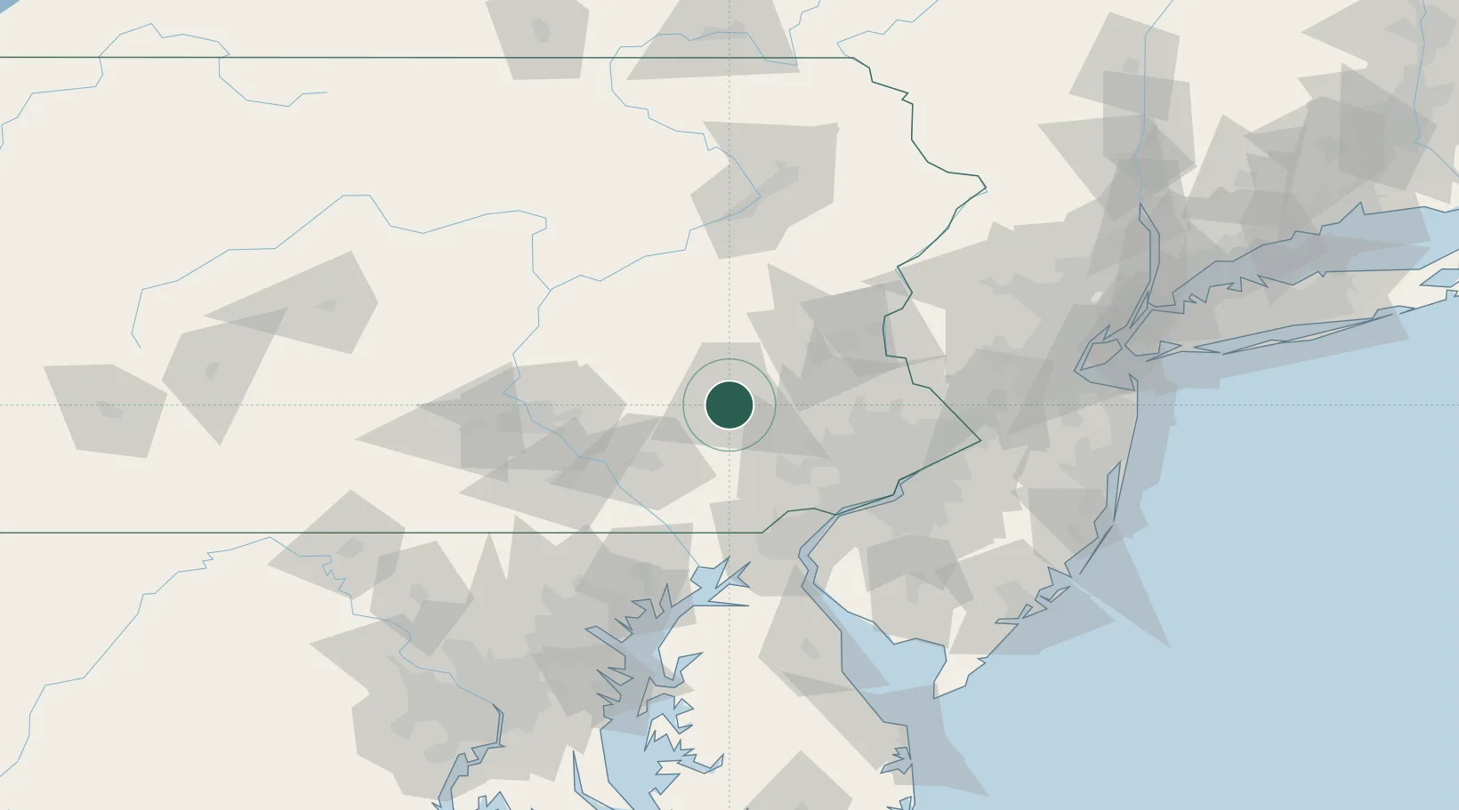
West Reading
40.3333°, -75.9333°
4,191
Population
4
Transport functions
Transport Functions
Port
Rail
Road
Multimodal
Hub Profile
Place type
Populated place
Region
Pennsylvania
Population
4,191
Time zone
America/New_York
Elevation
98 m
Location
Nearby Logistics Neighbours
Cities
- 1Muhlenberg6 km
- 2Laureldale6 km
- 3Mohnton7 km
- 4Wernersville13 km
- 5Shoemakersville19 km
Ports
- 1Marcus Hook72 km
- 2Chester73 km
- 3Wilmington74 km
- 4Deepwater Point79 km
- 5Paulsboro79 km
Airports
Trade Zones
DatabookThe Record of Consolidated Knowledge
United States beyond logistics?