Transport Functions
Rail
Road
Multimodal
Hub Profile
Place type
Populated place
Region
Pennsylvania
Time zone
America/New_York
Elevation
100 m
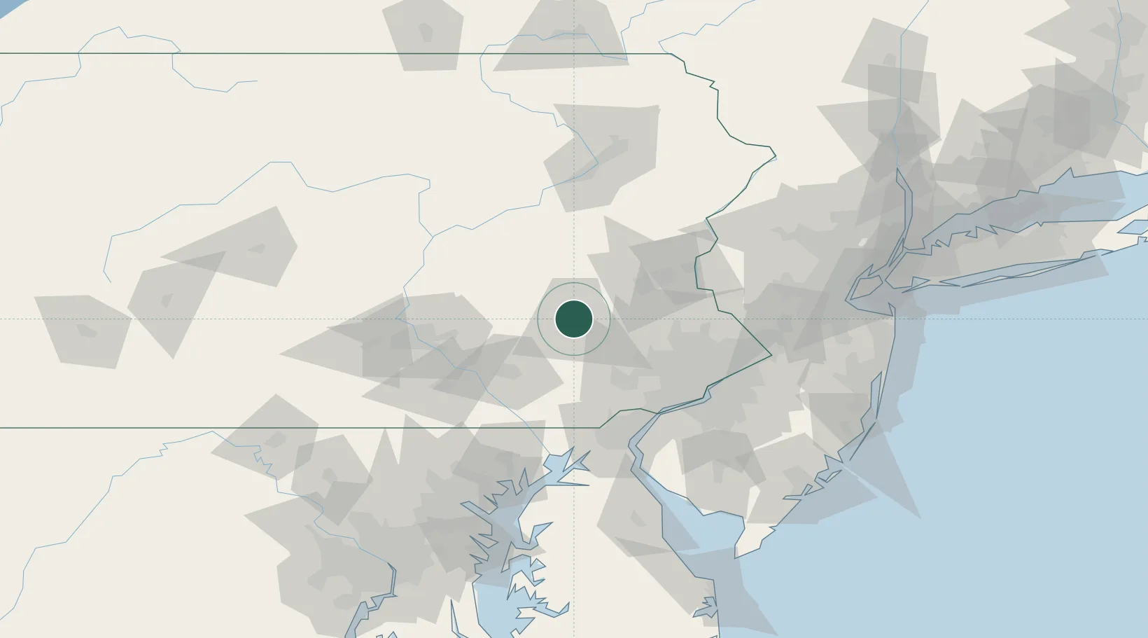
Location
Nearby Logistics Neighbours
Cities
- 1Laureldale1 km
- 2West Reading6 km
- 3Mohnton12 km
- 4Shoemakersville13 km
- 5Wernersville14 km
Ports
- 1Marcus Hook77 km
- 2Chester77 km
- 3Wilmington79 km
- 4Paulsboro83 km
- 5Philadelphia83 km
Airports
Trade Zones
DatabookThe Record of Consolidated Knowledge
United States beyond logistics?