UN/LOCODE hub · United States
USWVO
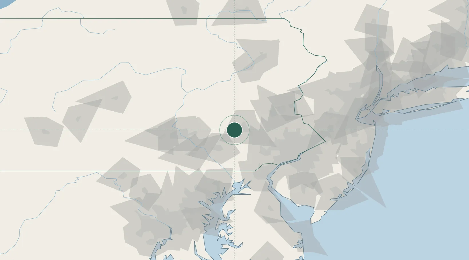
Wernersville
40.3333°, -76.0833°
2,540
Population
2
Transport functions
Transport Functions
Rail
Road
Hub Profile
Place type
Populated place
Region
Pennsylvania
Population
2,540
Time zone
America/New_York
Elevation
114 m
Location
Nearby Logistics Neighbours
Cities
- 1Mohnton10 km
- 2West Reading13 km
- 3Stevens14 km
- 4Muhlenberg14 km
- 5Laureldale15 km
Ports
- 1Wilmington81 km
- 2Marcus Hook81 km
- 3Chester82 km
- 4Deepwater Point85 km
- 5New Castle88 km
Airports
Trade Zones
DatabookThe Record of Consolidated Knowledge
United States beyond logistics?