Transport Functions
Road
Multimodal
Hub Profile
Place type
Populated place
Region
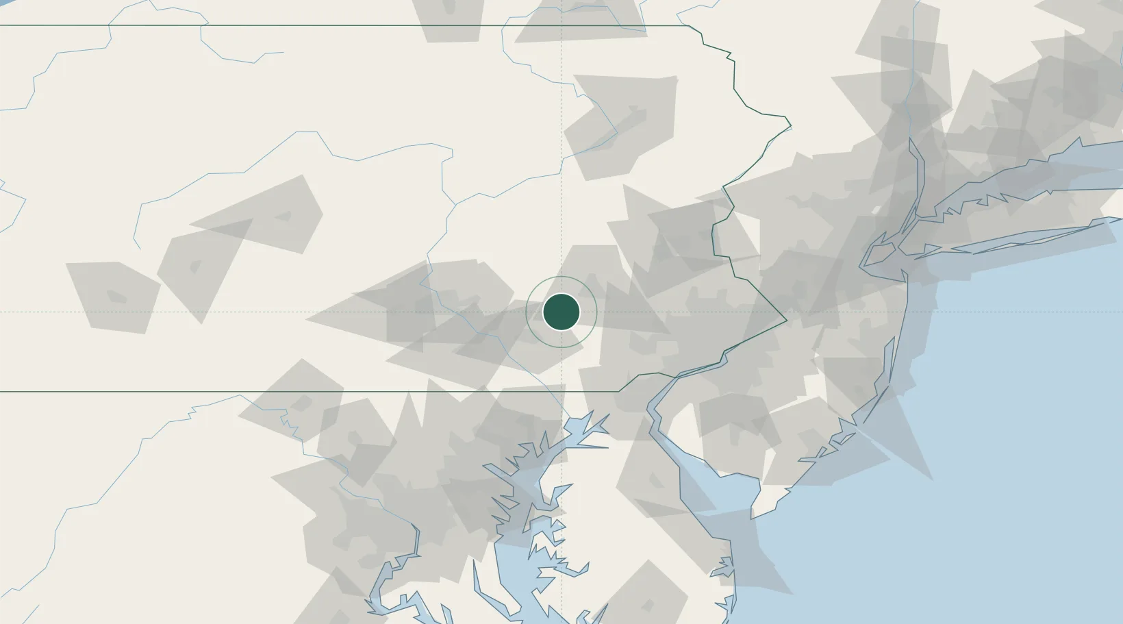
Pennsylvania
Population
612
Time zone
America/New_York
Elevation
116 m
Location
Nearby Logistics Neighbours
Cities
- 1Terre Hill10 km
- 2Wernersville14 km
- 3East Earl14 km
- 4Mohnton15 km
- 5Schaefferstown15 km
Ports
- 1Wilmington73 km
- 2Marcus Hook76 km
- 3Havre De Grace76 km
- 4Deepwater Point78 km
- 5Chester78 km
Airports
Trade Zones
DatabookThe Record of Consolidated Knowledge
United States beyond logistics?