UN/LOCODE hub · United States
USQLR
Laureldale
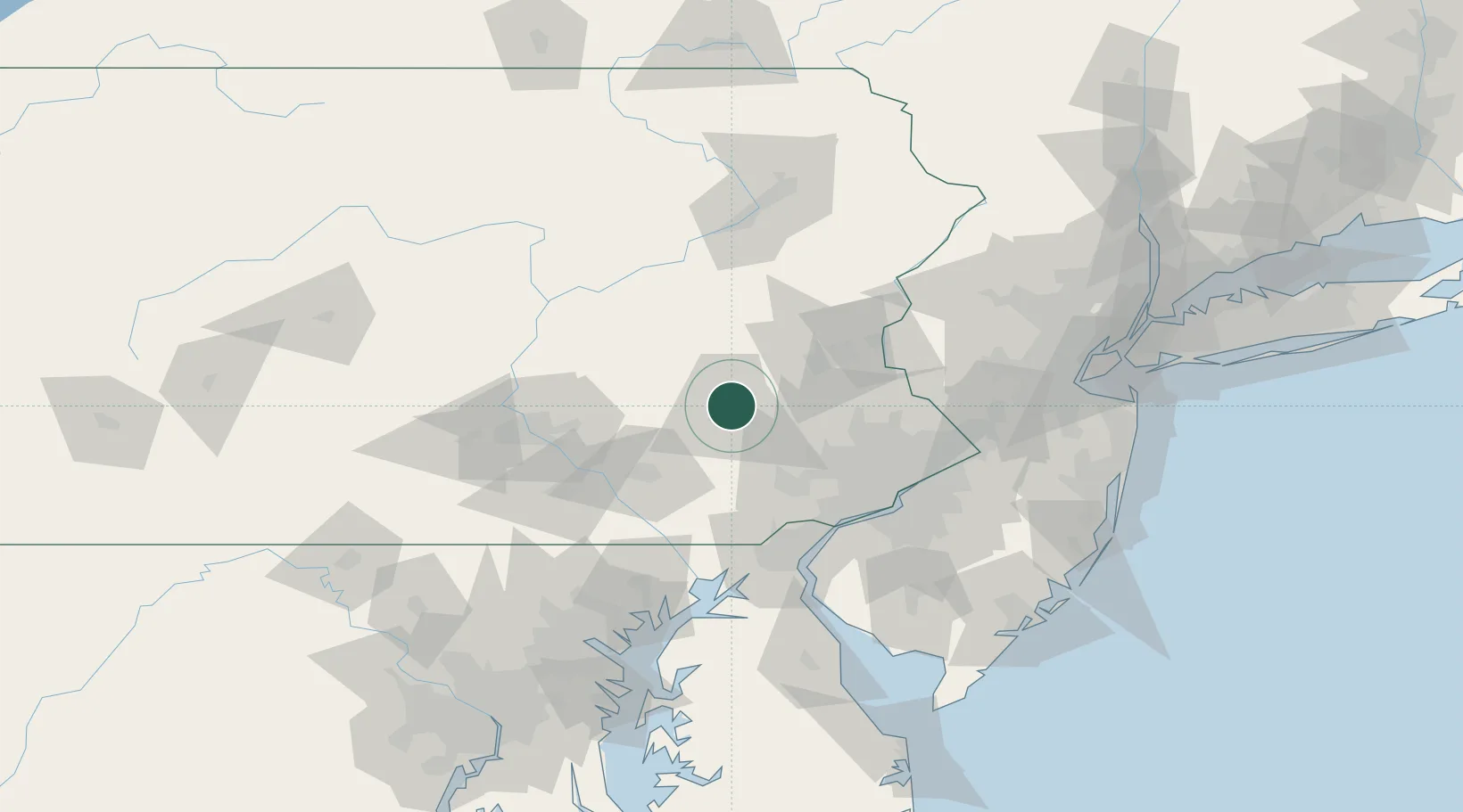
40.3833°, -75.9167°
3,883
Population
4
Transport functions
Transport Functions
Port
Rail
Road
Multimodal
Hub Profile
Place type
Populated place
Region
Pennsylvania
Population
3,883
Time zone
America/New_York
Elevation
117 m
Location
Nearby Logistics Neighbours
Cities
- 1Muhlenberg1 km
- 2West Reading6 km
- 3Mohnton13 km
- 4Shoemakersville14 km
- 5Wernersville15 km
Ports
- 1Marcus Hook76 km
- 2Chester76 km
- 3Wilmington79 km
- 4Paulsboro82 km
- 5Philadelphia82 km
Airports
Trade Zones
DatabookThe Record of Consolidated Knowledge
United States beyond logistics?