Medium airport · United States

Lehigh Valley International AirportKABE
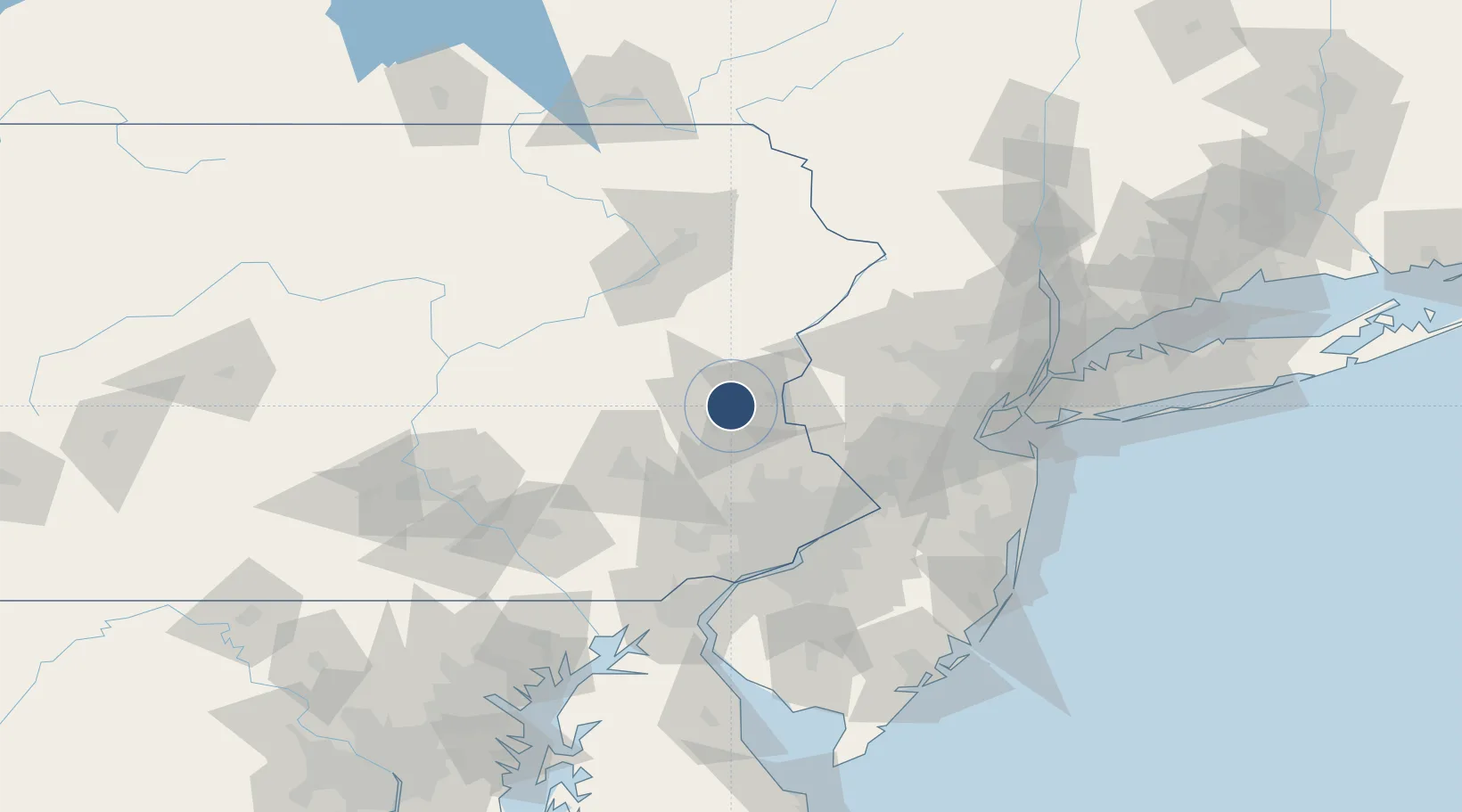
40.6518°, -75.4428°
7,599 ft
Longest runway
2
Runways
393 ft
Elevation

Runway & Layout

Lehigh Valley International Airport runway & taxiway layout
Runway & taxiway layout — OpenStreetMap (ODbL) / OurAirports

Radio Frequencies

ATIS
126.975 MHz
TWR
120.5 MHz
GND
121.9 MHz
CLD
124.05 MHz
CLNC DEL
A/D
118.2 MHz
APP/DEP
RDO
117.5 MHz
WILLIAMSPORT RDO
UNIC
122.95 MHz
UNICOM
OurAirports

Navaids

AB NDB Leehi 400 kHz
FJC VORTAC Allentown 117.50 MHz
OurAirports

Runways · 2

RunwayDimensions SurfaceTrue headingLit
06/24 7,599 × 150ft Asphalt 051°
13/31 5,800 × 150ft Asphalt 123°
OurAirports

Airport Specifications

IATA code
ABE
OurAirports
ICAO code
KABE
OurAirports
Airport class
Medium airport
OurAirports
Scheduled service
Yes
OurAirports
Runway surface
Asphalt
OurAirports
Served city
Allentown/Bethlehem
OurAirports

Location

Location of KABE
Natural Earth 10m (public domain) · Pennsylvania · KABE · 40.65, -75.44GoogleOSMYandex

Nearby Logistics Neighbours

Airports
  1. 1Reading Regional Airport (Carl A Spaatz Field)54 km
  2. 2Trenton Mercer Airport68 km
  3. 3Northeast Philadelphia Airport73 km
  4. 4Wilkes-Barre/Scranton International Airport80 km
  5. 5Morristown Municipal Airport88 km
Nearest neighbours — logibook spatial index (haversine) over the source coordinates
Cities
  1. 1Northampton5 km
  2. 2Bethlehem10 km
  3. 3Center Valley14 km
  4. 4Walnutport16 km
  5. 5Kunkletown20 km
Nearest neighbours — logibook spatial index (haversine) over the source coordinates
Ports
  1. 1Trenton76 km
  2. 2Bristol79 km
  3. 3Burlington80 km
  4. 4Philadelphia82 km
  5. 5Camden82 km
Nearest neighbours — logibook spatial index (haversine) over the source coordinates
Trade Zones
  1. 1FTZ No. 272 Counties of Lehigh and Northampton26 km
  2. 2FTZ No. 044 Morris County55 km
  3. 3FTZ No. 200 Mercer County65 km
  4. 4FTZ No. 035 Philadelphia74 km
  5. 5FTZ No. 147 Berks County75 km
Nearest neighbours — logibook spatial index (haversine) over the source coordinates
DatabookThe Record of Consolidated Knowledge
United States beyond logistics?
Browse databook

All Sources

AirportsOurAirports
Public domain
Portsthe NGA World Port Index
Public domain (US gov)
LocationsUN/LOCODE
UN/LOCODE — free
Trade Zonesthe World Bank SEZ database
CC BY 4.0
Trade ZonesOpen Zone Map
CC BY
InfrastructureOpenStreetMap
ODbL 1.0
← United States airports