Transport Functions
Rail
Road
Multimodal
Hub Profile
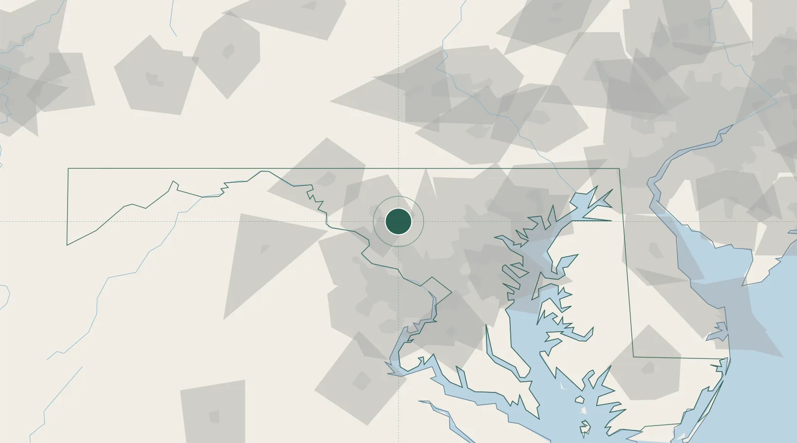
Place type
Populated place
Region
Maryland
Population
416
Time zone
America/New_York
Elevation
126 m
Location
Nearby Logistics Neighbours
Cities
- 1Ijamsville5 km
- 2Woodbine19 km
- 3Adamstown19 km
- 4Woodsboro19 km
- 5Montgomery Village23 km
Ports
- 1Washington D.C.59 km
- 2Baltimore60 km
- 3Alexandria66 km
- 4Annapolis80 km
- 5Havre De Grace103 km
Airports
Trade Zones
DatabookThe Record of Consolidated Knowledge
United States beyond logistics?