UN/LOCODE hub · United States
USNMV
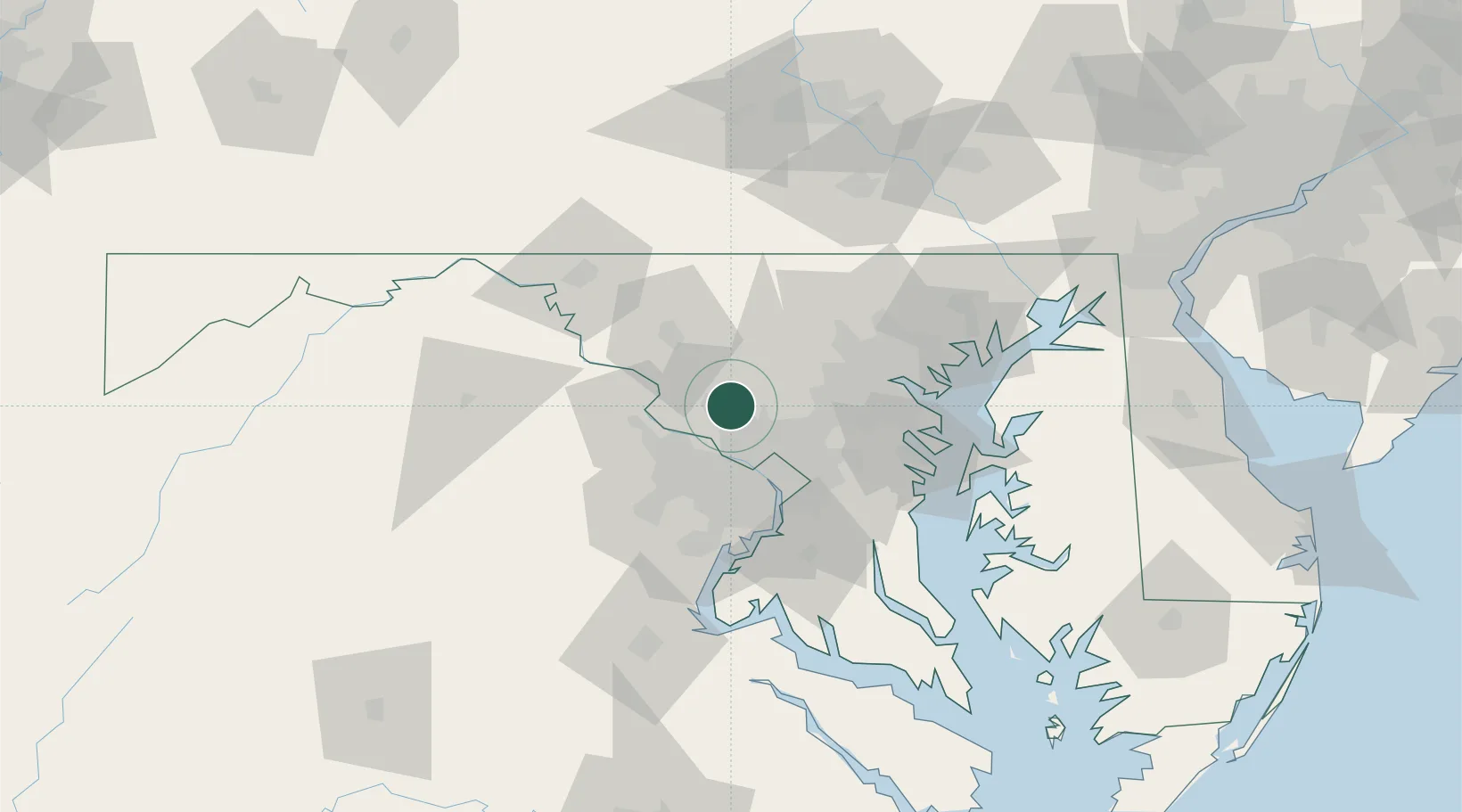
Montgomery Village
39.1667°, -77.2000°
32,032
Population
2
Transport functions
Transport Functions
Road
Multimodal
Hub Profile
Place type
Populated place
Region
Maryland
Population
32,032
Time zone
America/New_York
Elevation
114 m
Location
Nearby Logistics Neighbours
Cities
- 1Germantown6 km
- 2Derwood6 km
- 3North Potomac11 km
- 4Great Falls22 km
- 5Ijamsville23 km
Ports
- 1Washington D.C.36 km
- 2Alexandria43 km
- 3Baltimore54 km
- 4Annapolis65 km
- 5Fredericksburg99 km
Airports
Trade Zones
DatabookThe Record of Consolidated Knowledge
United States beyond logistics?