Transport Functions
Rail
Road
Multimodal
Hub Profile
Place type
Populated place
Region
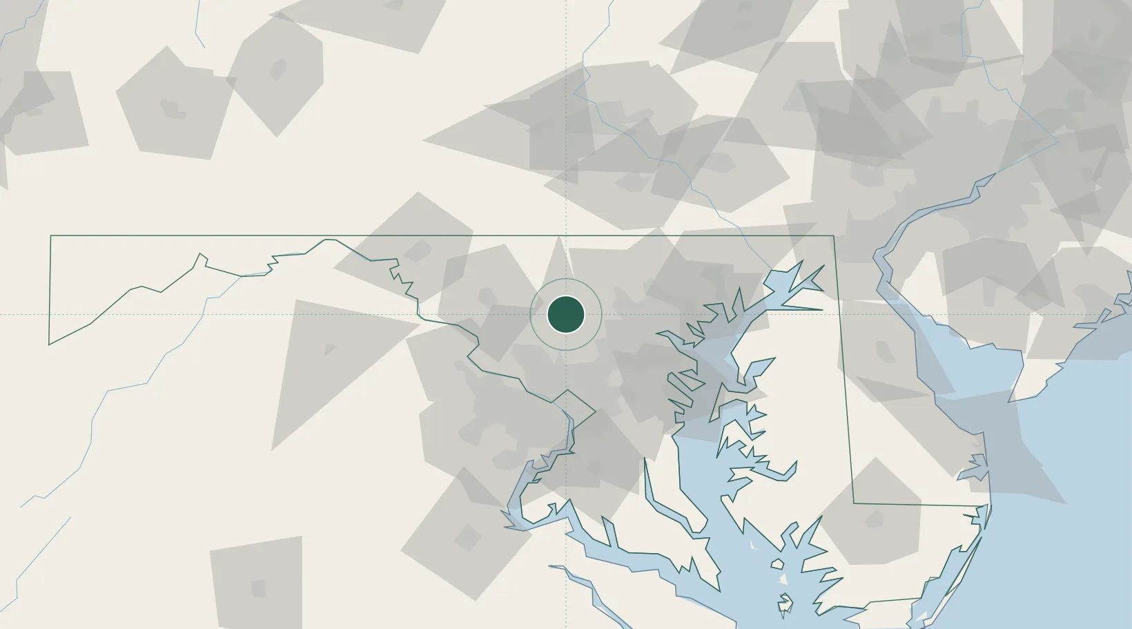
Maryland
Time zone
America/New_York
Elevation
146 m
Location
Nearby Logistics Neighbours
Cities
- 1Sykesville7 km
- 2West Friendship10 km
- 3Monrovia19 km
- 4Clarksville20 km
- 5Reisterstown23 km
Ports
- 1Baltimore41 km
- 2Washington D.C.54 km
- 3Alexandria61 km
- 4Annapolis64 km
- 5Havre De Grace86 km
Airports
Trade Zones
DatabookThe Record of Consolidated Knowledge
United States beyond logistics?