UN/LOCODE hub · United States
USQWQ
Woodsboro
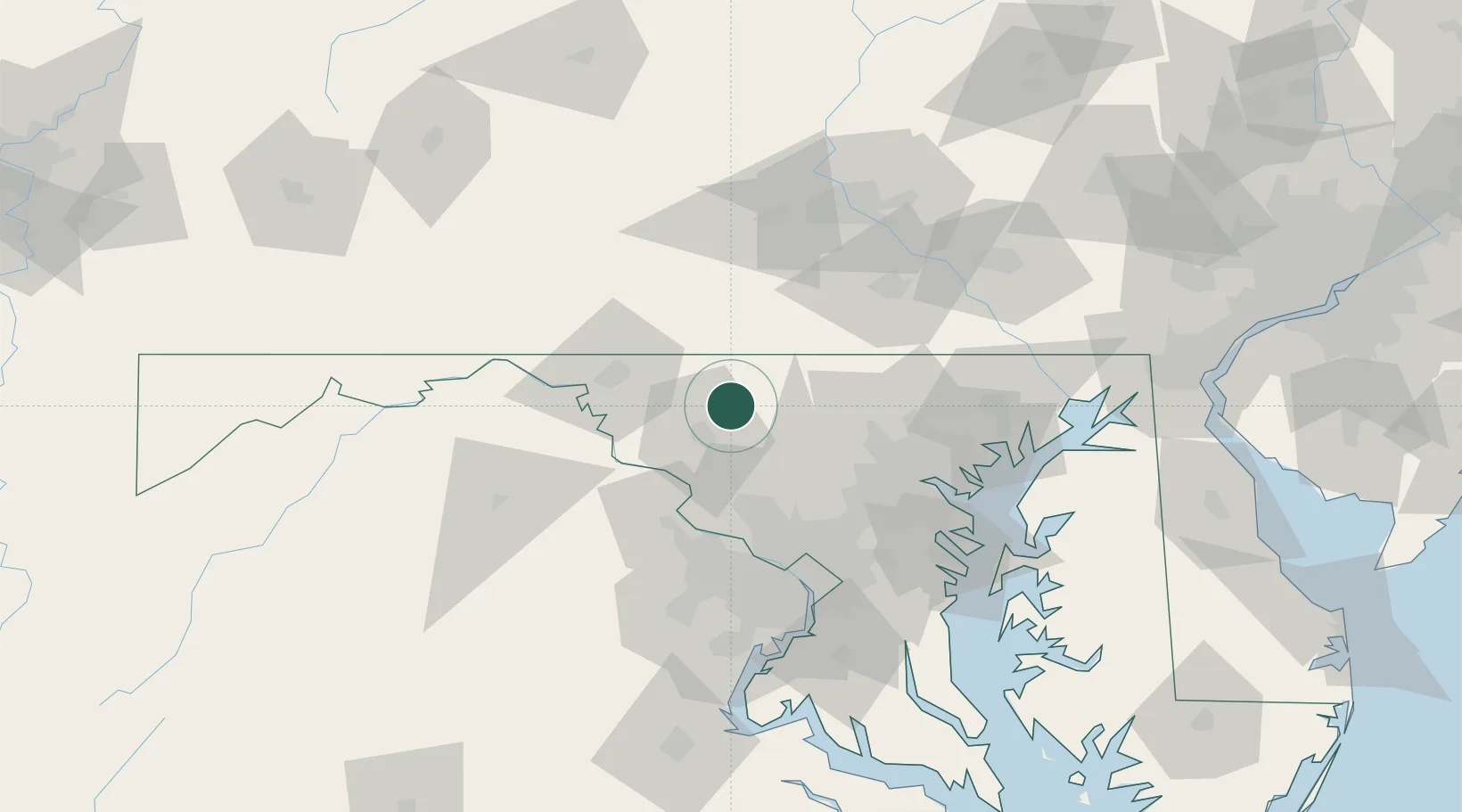
39.5333°, -77.3167°
1,196
Population
2
Transport functions
Transport Functions
Rail
Road
Hub Profile
Place type
Populated place
Region
Maryland
Population
1,196
Time zone
America/New_York
Elevation
121 m
Location
Nearby Logistics Neighbours
Cities
- 1Keymar10 km
- 2Thurmont12 km
- 3Keysville13 km
- 4Monrovia19 km
- 5Ijamsville20 km
Ports
- 1Baltimore70 km
- 2Washington D.C.78 km
- 3Alexandria85 km
- 4Annapolis94 km
- 5Havre De Grace106 km
Airports
Trade Zones
DatabookThe Record of Consolidated Knowledge
United States beyond logistics?