UN/LOCODE hub · United States
USAN6
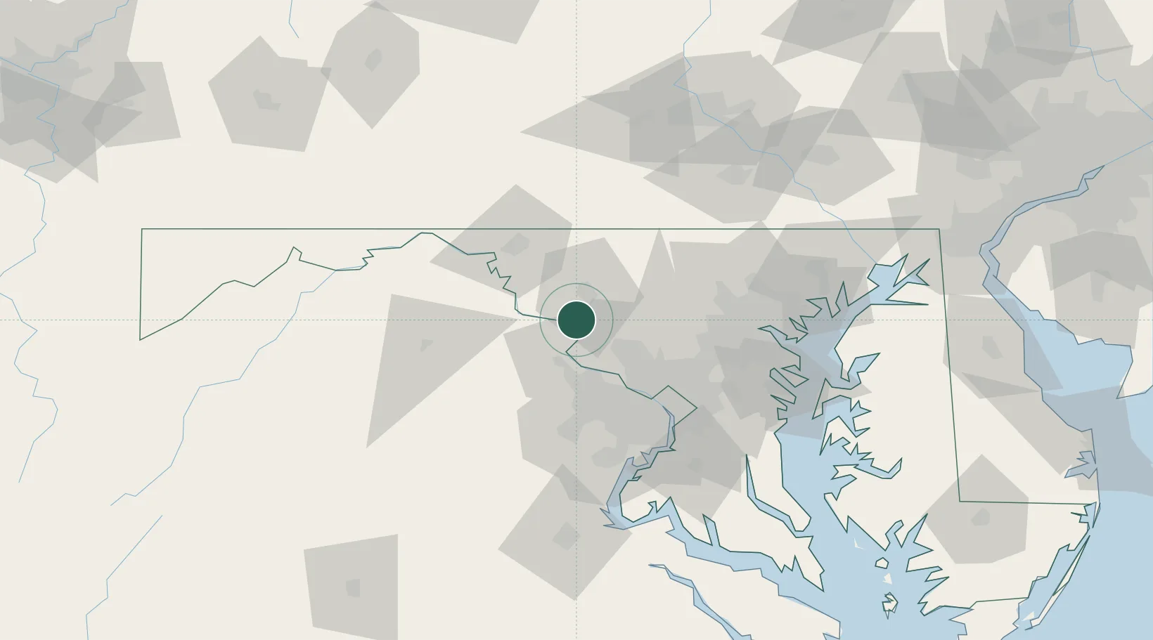
Adamstown
39.3000°, -77.4667°
2,372
Population
1
Transport functions
Transport Functions
Multimodal
Hub Profile
Place type
Populated place
Region
Maryland
Population
2,372
Time zone
America/New_York
Elevation
93 m
Location
Nearby Logistics Neighbours
Cities
- 1Ijamsville14 km
- 2Lovettsville15 km
- 3Middletown16 km
- 4Monrovia19 km
- 5Germantown24 km
Ports
- 1Washington D.C.61 km
- 2Alexandria67 km
- 3Baltimore76 km
- 4Annapolis92 km
- 5Fredericksburg111 km
Airports
Trade Zones
DatabookThe Record of Consolidated Knowledge
United States beyond logistics?