Transport Functions
Rail
Road
Multimodal
Hub Profile
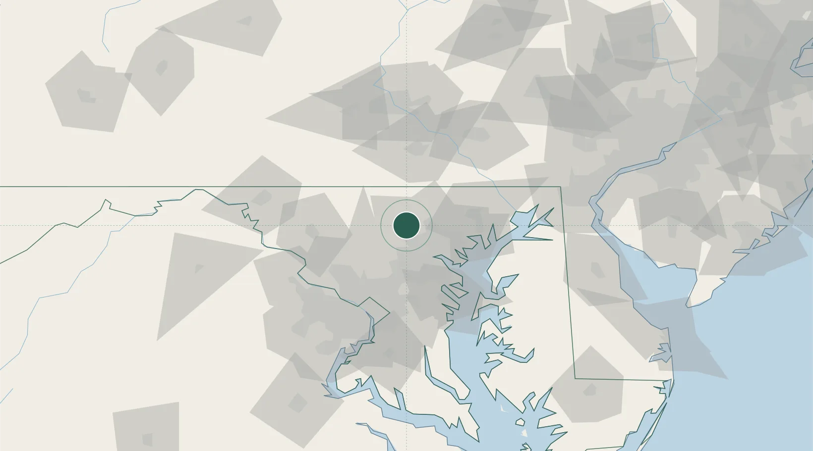
Place type
Populated place
Region
Maryland
Time zone
America/New_York
Elevation
210 m
Location
Nearby Logistics Neighbours
Cities
- 1Reisterstown2 km
- 2Arlington/Baltimore18 km
- 3Sykesville18 km
- 4Manchester22 km
- 5West Friendship23 km
Ports
- 1Baltimore29 km
- 2Annapolis60 km
- 3Havre De Grace62 km
- 4Washington D.C.70 km
- 5Alexandria77 km
Airports
Trade Zones
DatabookThe Record of Consolidated Knowledge
United States beyond logistics?