Transport Functions
Rail
Road
Hub Profile
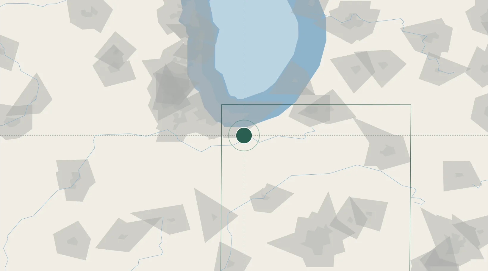
Place type
Populated place
Region
Indiana
Population
3,704
Time zone
America/Chicago
Elevation
216 m
Location
Nearby Logistics Neighbours
Cities
- 1Kouts14 km
- 2DeMotte15 km
- 3Lowell, Lake19 km
- 4Shelby19 km
- 5Saint John27 km
Ports
- 1Gary35 km
- 2Indiana Harbor44 km
- 3Michigan City53 km
- 4Calumet Harbor53 km
- 5Chicago71 km
Airports
Trade Zones
- 1FTZ No. 152 Burns Harbor34 km
- 2FTZ No. 022 Chicago80 km
- 3FTZ No. 125 South Bend82 km
- 4FTZ No. 292 Lake County126 km
- 5FTZ No. 182 Fort Wayne162 km
DatabookThe Record of Consolidated Knowledge
United States beyond logistics?