UN/LOCODE hub · United States
USLTY

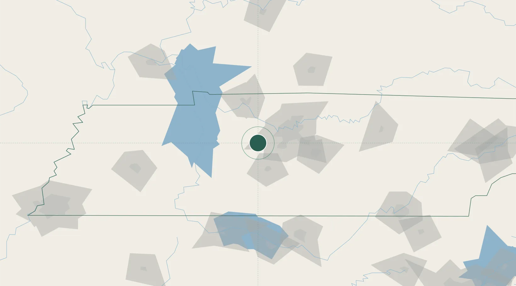
Liberty Hill, Williamson

35.9833°, -87.1833°
2
Transport functions

Transport Functions

Road
Multimodal
UN/LOCODE

Hub Profile

Region
TN
GeoNames

Location

Location of USLTY
Natural Earth 10m (public domain) · TN · USLTY · 35.98, -87.18GoogleOSMYandex

Nearby Logistics Neighbours

Cities
  1. 1Fairview6 km
  2. 2Burns13 km
  3. 3Kingston Springs14 km
  4. 4Bon Aqua15 km
  5. 5Lyles15 km
Nearest neighbours — logibook spatial index (haversine) over the source coordinates
Ports
  1. 1Port Of Memphis289 km
  2. 2Mobile596 km
  3. 3Pensacola621 km
  4. 4Gary627 km
  5. 5Indiana Harbor632 km
Nearest neighbours — logibook spatial index (haversine) over the source coordinates
Airports
  1. 1Nashville International Airport48 km
  2. 2Smyrna Airport60 km
  3. 3Campbell Army Airfield (Fort Campbell)82 km
  4. 4Bowling Green Warren County Regional Airport129 km
  5. 5Northwest Alabama Regional Airport143 km
Nearest neighbours — logibook spatial index (haversine) over the source coordinates
Trade Zones
  1. 1FTZ No. 078 Nashville25 km
  2. 2FTZ No. 265 Conroe (Montgomery County)148 km
  3. 3FTZ No. 270 Lawrence County151 km
  4. 4FTZ No. 083 Huntsville154 km
  5. 5FTZ No. 294 Western Kentucky174 km
Nearest neighbours — logibook spatial index (haversine) over the source coordinates
DatabookThe Record of Consolidated Knowledge
United States beyond logistics?
Browse databook

All Sources

LocationsUN/LOCODE
UN/LOCODE — free
Portsthe NGA World Port Index
Public domain (US gov)
AirportsOurAirports
Public domain
Trade Zonesthe World Bank SEZ database
CC BY 4.0
Trade ZonesOpen Zone Map
CC BY
← United States locations