Transport Functions
Rail
Road
Hub Profile
Place type
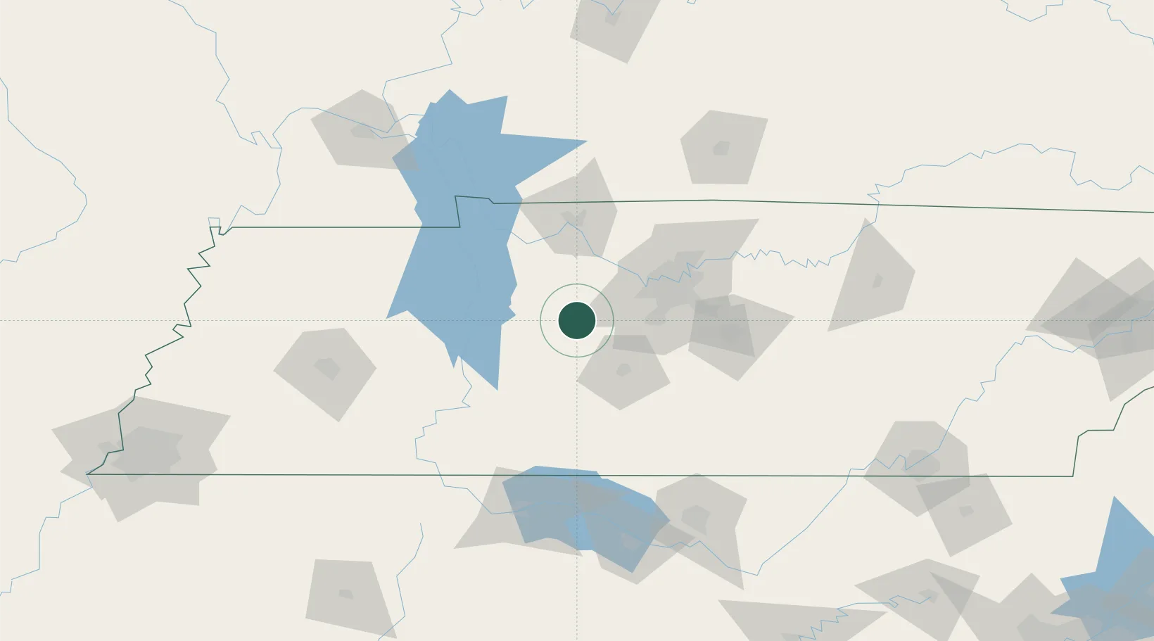
Populated place
Region
Tennessee
Time zone
America/Chicago
Elevation
254 m
Location
Nearby Logistics Neighbours
Cities
- 1Lyles2 km
- 2Burns13 km
- 3Liberty Hill, Williamson15 km
- 4Dickson16 km
- 5Fairview20 km
Ports
- 1Port Of Memphis274 km
- 2Mobile588 km
- 3Pensacola615 km
- 4Pascagoula631 km
- 5Gary632 km
Airports
Trade Zones
- 1FTZ No. 078 Nashville37 km
- 2FTZ No. 265 Conroe (Montgomery County)145 km
- 3FTZ No. 270 Lawrence County149 km
- 4FTZ No. 083 Huntsville152 km
- 5FTZ No. 294 Western Kentucky168 km
DatabookThe Record of Consolidated Knowledge
United States beyond logistics?