UN/LOCODE hub · United States
USZJS
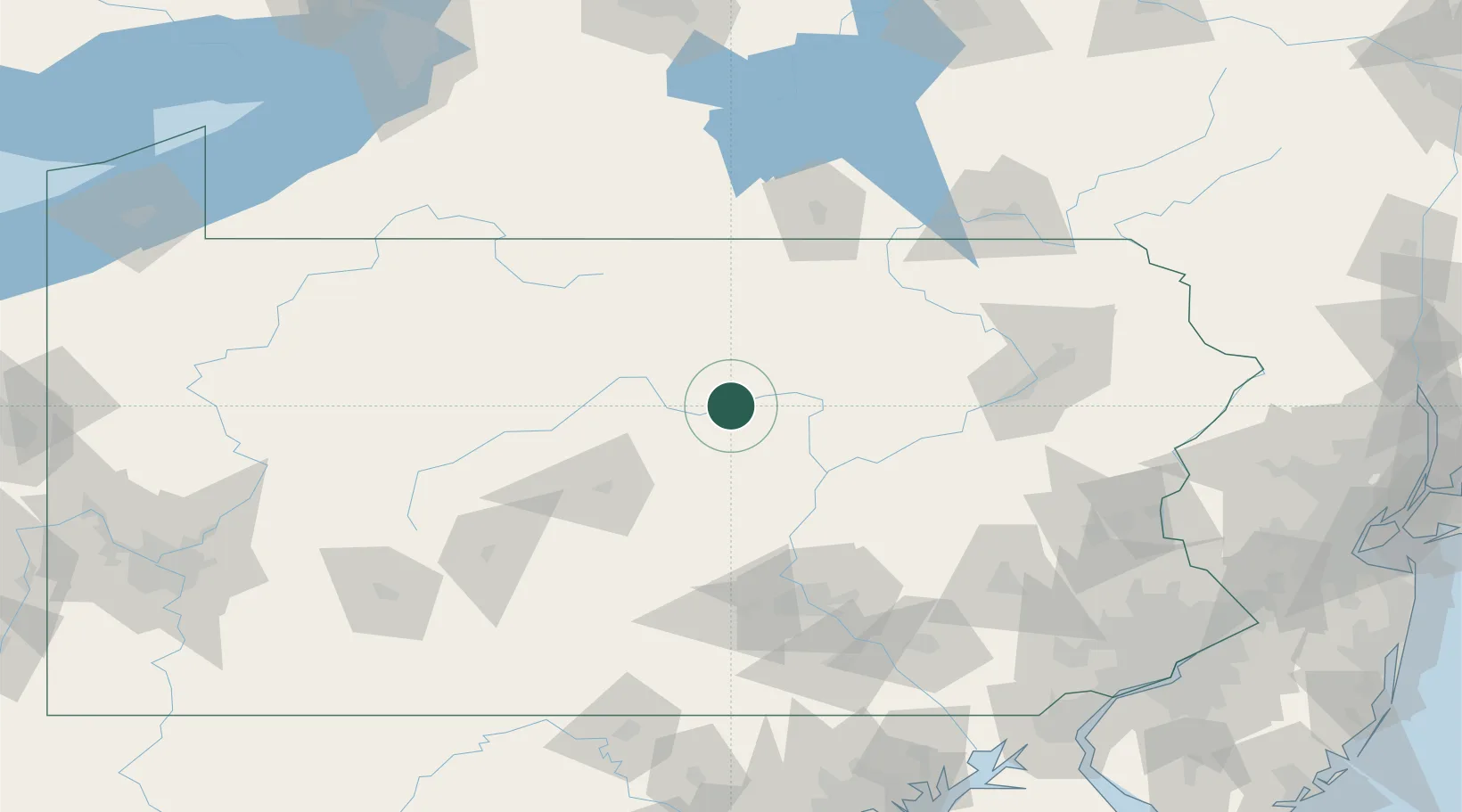
Jersey Shore
41.2000°, -77.2500°
4,279
Population
3
Transport functions
Transport Functions
Rail
Road
Multimodal
Hub Profile
Place type
Populated place
Region
Pennsylvania
Population
4,279
Time zone
America/New_York
Elevation
184 m
Location
Nearby Logistics Neighbours
Cities
- 1Woolrich10 km
- 2McElhattan10 km
- 3South Willamsport21 km
- 4Beech Creek30 km
- 5Allenwood31 km
Ports
- 1Havre De Grace210 km
- 2Wilmington217 km
- 3Marcus Hook218 km
- 4Chester220 km
- 5Deepwater Point222 km
Airports
Trade Zones
DatabookThe Record of Consolidated Knowledge
United States beyond logistics?