Transport Functions
Port
Rail
Road
Hub Profile
Region
PA
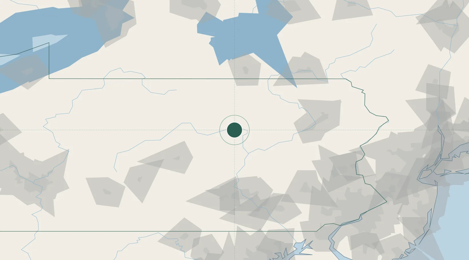
Location
Nearby Logistics Neighbours
Cities
- 1Montgomery13 km
- 2Allenwood17 km
- 3Watsontown21 km
- 4Jersey Shore21 km
- 5Hughesville24 km
Ports
- 1Havre De Grace204 km
- 2Marcus Hook207 km
- 3Wilmington207 km
- 4Chester208 km
- 5Deepwater Point212 km
Airports
Trade Zones
DatabookThe Record of Consolidated Knowledge
United States beyond logistics?