Transport Functions
Port
Road
Multimodal
Hub Profile
Place type
Populated place
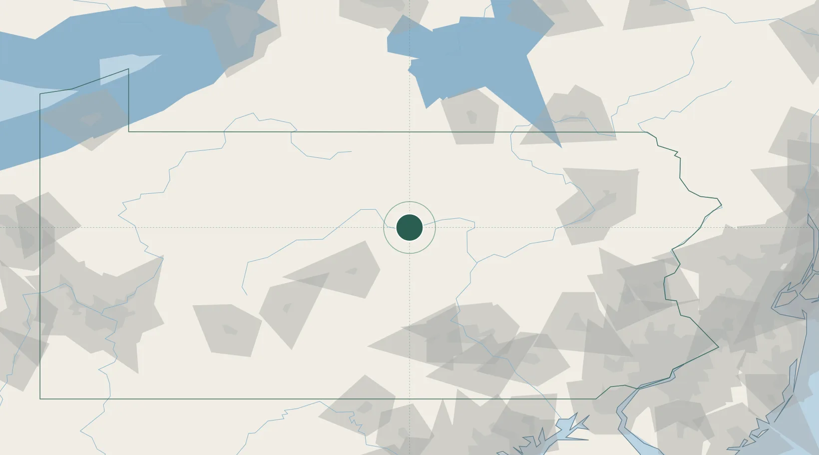
Region
Pennsylvania
Time zone
America/New_York
Elevation
221 m
Location
Nearby Logistics Neighbours
Cities
- 1McElhattan2 km
- 2Jersey Shore10 km
- 3Beech Creek21 km
- 4South Willamsport31 km
- 5Allenwood40 km
Ports
- 1Havre De Grace213 km
- 2Dunkirk218 km
- 3Wilmington223 km
- 4Baltimore223 km
- 5Marcus Hook224 km
Airports
Trade Zones
DatabookThe Record of Consolidated Knowledge
United States beyond logistics?