Transport Functions
Rail
Road
Hub Profile
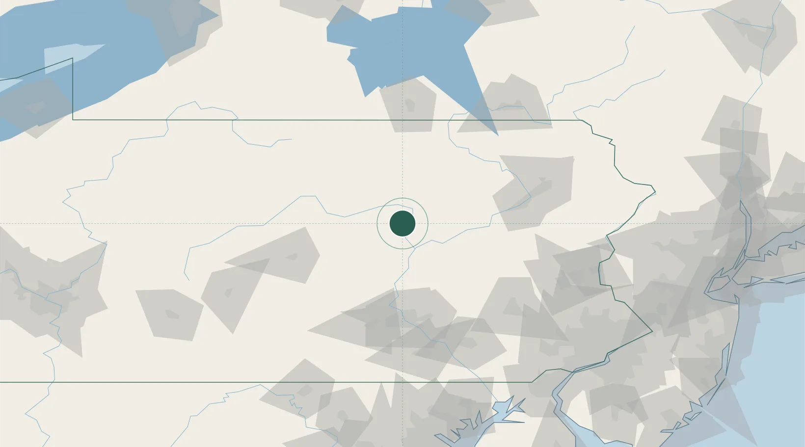
Place type
Populated place
Region
Pennsylvania
Population
321
Time zone
America/New_York
Elevation
150 m
Location
Nearby Logistics Neighbours
Cities
- 1Watsontown5 km
- 2Montgomery8 km
- 3New Columbia8 km
- 4South Willamsport17 km
- 5Winfield21 km
Ports
- 1Havre De Grace188 km
- 2Marcus Hook190 km
- 3Wilmington190 km
- 4Chester191 km
- 5Deepwater Point195 km
Airports
Trade Zones
DatabookThe Record of Consolidated Knowledge
United States beyond logistics?